1 Dunham Street, Manchester, M15 5FX
About 1 Dunham Street
1 Dunham Street is a three-bedroom semi-detached house in Manchester (M15 5FX). It has a recorded floor area of 73 m² (around 785 sq ft), construction records dating it to 1996-2002 and council tax band B. The latest certificate (August 2009) shows a C (score 73). The latest certificate is from August 2009, so improvements made since then won't be reflected.
It hasn't traded since February 2010, a hold of 16 years that's notably long for the area. Across 2000–2010, sale prices on this property compounded at 9.5% per year. Today's modelled estimate of £249,000 sits 90.1% above the 2010 sale of £131,000. On a £-per-square-foot basis, the last sale (£167/sq ft) was about 53.8% above the typical sold price in the postcode. At 73 m² it's 20.6% larger than the typical home in the postcode (61 m² median across 10 EPCs).
What this property has
Inside
- Bedrooms3
- Dining roomYes
- CloakroomYes
Outside
- Private gardenYes
- GarageYes
Building
- Heating systemGas
Everything you need to know about 1 Dunham Street
The true value, the hidden risks and the full sale history, in one report.
30-day money-back guarantee

The data behind every report


Energy performance
1 Dunham Street's EPC is over a decade old — improvements since won't be reflected.
EPC Expired
This certificate is over 10 years old and is no longer valid.Expired 24 Aug 2019
EPC Rating
Planning history
1 Dunham Street has no planning applications on record.
The full report still covers planning activity across the surrounding area.
Sales history & valuation
1 Dunham Street has more than doubled in price since the earliest registered sale in 2000.
£249,000
Modelled from EPC, postcode comparables and a sale-price growth of 9.5% per year over 9 years.
£131,000
Growth on file: 9.5% per year over 9 years.
Sales timeline
19 February 2010Most recent
£131,000
+131.9%over 9 years24 November 2000
£56,500
Median price across the last 5 sales in M15 5FX: £142,000 (2021–2007).
Nearby sales in M15 5FX
Versus other Dunham Street homes
1 Dunham Street outperforms the street on floor area by a wide margin.
Price per m²
£1,796
Street avg £1,902
Floor Area
73 m²
Street avg 61 m²
Habitable Rooms
5 rooms
Street avg 4 rooms
CO₂ Emissions
2.6 t/year
Street avg 2.1 t/year
Everything you need to know about 1 Dunham Street
The true value, the hidden risks and the full sale history, in one report.
30-day money-back guarantee
The data behind every report
Similar properties nearby
1 Ancroft Street
M15 5JW
1 Heron Street
M15 5PR
1 Dearden Street
M15 5LZ
1 Drayton Street
M15 5LL
1 Colin Murphy Road
M15 5RS
1 Betsham Street
M15 5JN
1 Bold Street, Hulme
M15 5QR
1 Bankwell Street
M15 5LN
The neighbourhood at a glance
Crime
1/mo
Steady year-on-year across the wider district.
Nearest stop
0.1 km
Hulme Park — bus stop.
Closest school
0.1 km
Rolls Crescent Primary School. 44 schools nearby.
Go deeper on the local area
The full report breaks down crime, transport links, schools and air quality in depth.
Road noise across the postcode
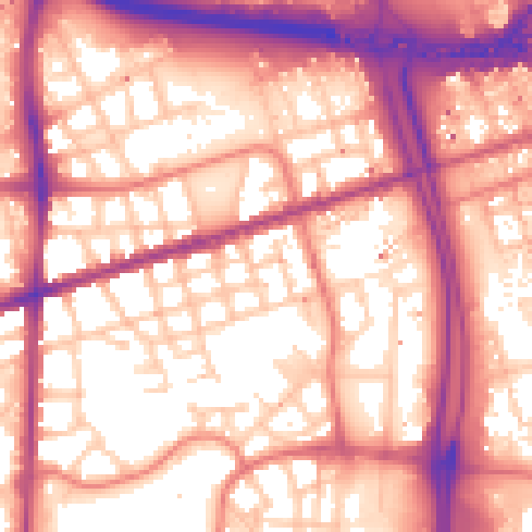
Daytime· 07:00 – 23:00
59.1dB

Night-time· 23:00 – 07:00
49.9dB