1 Ancroft Street, Manchester, M15 5JW
About 1 Ancroft Street
1 Ancroft Street is a three-bedroom semi-detached house in Manchester (M15 5JW). It has a recorded floor area of 72 m² (around 778 sq ft), construction records dating it to 1996-2002 and council tax band B. The latest certificate (March 2012) shows a C (score 71). The latest certificate is from March 2012, so improvements made since then won't be reflected.
At 72 m² the property is well over the postcode median (52 m² across 15 EPCs), placing it in the larger end of the local stock. Across 1998–2013, sale prices on this property compounded at 7.1% per year. Today's modelled estimate of £253,000 sits 78.2% above the 2013 sale of £142,000. Last changed hands 13 years ago, in January 2013. Across the public record there are 5 sales, relatively high churn for a single property.
What this property has
Inside
- Bedrooms3
- CloakroomYes
Outside
- Private gardenRear
- DrivewayYes
Everything you need to know about 1 Ancroft Street
The true value, the hidden risks and the full sale history, in one report.
30-day money-back guarantee

The data behind every report


Energy performance
1 Ancroft Street's EPC is over a decade old — improvements since won't be reflected.
EPC Expired
This certificate is over 10 years old and is no longer valid.Expired 24 Mar 2022
EPC Rating
Planning history
1 Ancroft Street has no planning applications on record.
The full report still covers planning activity across the surrounding area.
Sales history & valuation
Sale price has at least doubled since 1998.
£253,000
Modelled from EPC, postcode comparables and a sale-price growth of 7.1% per year over 14 years.
£142,000
Growth on file: 7.1% per year over 14 years.
Sales timeline
15 January 2013Most recent
£142,000
+3.8%over 7 years26 May 2005
£136,750
+32.1%over 1 year4 September 2003
£103,500
+24.8%over 1 year30 July 2002
£82,950
+55.1%over 3 years30 October 1998
£53,480
Median price across the last 5 sales in M15 5JW: £138,500 (2025–2007).
Nearby sales in M15 5JW
Versus other Ancroft Street homes
On floor area, 1 Ancroft Street stands well clear of the street.
Price per m²
£1,964
Street avg £2,315
Floor Area
72 m²
Street avg 53 m²
Habitable Rooms
4 rooms
Street avg 4 rooms
CO₂ Emissions
2.5 t/year
Street avg 1.8 t/year
Everything you need to know about 1 Ancroft Street
The true value, the hidden risks and the full sale history, in one report.
30-day money-back guarantee
The data behind every report
Similar properties nearby
1 Dunham Street
M15 5FX
1 Heron Street
M15 5PR
1 Drayton Street
M15 5LL
1 Dearden Street
M15 5LZ
1 Colin Murphy Road
M15 5RS
1 Betsham Street
M15 5JN
1 Bold Street, Hulme
M15 5QR
1 Bankwell Street
M15 5LN
The neighbourhood at a glance
Crime
1/mo
Steady year-on-year across the wider district.
Nearest stop
0.1 km
Hulme Park — bus stop.
Closest school
0.2 km
Rolls Crescent Primary School. 46 schools nearby.
Go deeper on the local area
The full report breaks down crime, transport links, schools and air quality in depth.
Road noise across the postcode
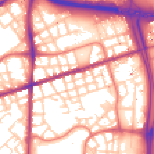
Daytime· 07:00 – 23:00
58.3dB

Night-time· 23:00 – 07:00
48.9dB