9 Ancroft Street, Manchester, M15 5JW
About 9 Ancroft Street
9 Ancroft Street is a two-bedroom end-of-terrace house in Manchester (M15 5JW). It has a recorded floor area of 53 m² (around 570 sq ft), construction records dating it to 1996-2002 and council tax band A. The latest certificate (November 2021) shows a C (score 70). The rating has held steady at C across 2 certificates since January 2011. Between certificates, lighting went from Very Poor to Good. The recommended improvements would push it to B (score 88).
Across 2002–2016, sale prices on this property compounded at 4.6% per year. Today's modelled estimate of £208,000 is 48.6% above the 2016 sale price. On a £-per-square-foot basis, the last sale (£245/sq ft) was about 35.8% above the typical sold price in the postcode. Last changed hands 10 years ago, in November 2016.
What this property has
Inside
- Bedrooms2
- Bathrooms1
- Dining roomYes
Outside
- Private gardenYes
Building
- Heating systemGas
Everything you need to know about 9 Ancroft Street
The true value, the hidden risks and the full sale history, in one report.
30-day money-back guarantee

The data behind every report


Energy performance
EPC Rating
Property Improvements
Changes detected from historical EPC data
Heating controls changed
More low energy lighting installed
Planning history
9 Ancroft Street has no planning applications on record.
The full report still covers planning activity across the surrounding area.
Sales history & valuation
9 Ancroft Street valuation sits well clear of the typical sold price in this postcode.
£208,000
Modelled from EPC, postcode comparables and a sale-price growth of 4.6% per year over 14 years.
£140,000
Growth on file: 4.6% per year over 14 years.
Sales timeline
2 November 2016Most recent
£140,000
+13.8%over 10 years14 June 2006
£123,000
+66.2%over 3 years26 August 2002
£74,000
Median price across the last 5 sales in M15 5JW: £138,500 (2025–2007).
Nearby sales in M15 5JW
Versus other Ancroft Street homes
On price per m², 9 Ancroft Street stands well clear of the street.
Price per m²
£2,642
Street avg £2,089
Floor Area
53 m²
Street avg 58 m²
Habitable Rooms
4 rooms
Street avg 4 rooms
CO₂ Emissions
2.0 t/year
Street avg 1.9 t/year
Everything you need to know about 9 Ancroft Street
The true value, the hidden risks and the full sale history, in one report.
30-day money-back guarantee
The data behind every report
Similar properties nearby
The neighbourhood at a glance
Crime
1/mo
Steady year-on-year across the wider district.
Nearest stop
0.1 km
Hulme Park — bus stop.
Closest school
0.2 km
Rolls Crescent Primary School. 46 schools nearby.
Go deeper on the local area
The full report breaks down crime, transport links, schools and air quality in depth.
Road noise across the postcode
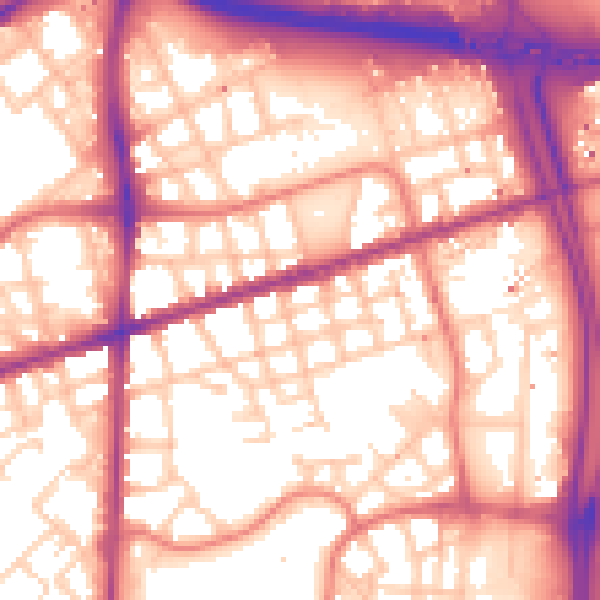
Daytime· 07:00 – 23:00
58.3dB

Night-time· 23:00 – 07:00
48.9dB