15 Warde Street, Hulme, Manchester, M15 5TG
About 15 Warde Street
15 Warde Street is a three-bedroom semi-detached house in Hulme, Manchester, Manchester (M15 5TG). It has a recorded floor area of 65 m² (around 700 sq ft), construction records dating it to 1996-2002 and council tax band B. The latest certificate (October 2019) shows a C (score 73). The recommended improvements would push it to B (score 86).
Sold February 2020 for £210,000. Across the public record there are 4 sales, relatively high churn for a single property. Across 1999–2020, sale prices on this property compounded at 7% per year. Today's modelled estimate of £298,000 is 41.9% above the 2020 sale price. On a £-per-square-foot basis, the last sale (£300/sq ft) was about 107% above the typical sold price in the postcode. One historical planning record sits against the property in 2023.
What this property has
Inside
- Bedrooms3
- Bathrooms1
- CloakroomYes
Building
- RefurbishedYes
Everything you need to know about 15 Warde Street
The true value, the hidden risks and the full sale history, in one report.
30-day money-back guarantee

The data behind every report


Energy performance
EPC Rating
Planning history
- Dec 2023RenovationFullIn report
Installation of heat pump.
- Documents
- 10 docs on file
- Reference
- 137416/FH/2023
What's in 15 Warde Street, Hulme, Manchester, M15 5TG's planning history?
Refusals, disputes and full decisions on this property and nearby, in the report.
Sales history & valuation
Latest sale on 15 Warde Street was the highest on Land Registry record across the postcode.
£298,000
Modelled from EPC, postcode comparables and a sale-price growth of 7.0% per year over 21 years.
£210,000
Growth on file: 7.0% per year over 21 years.
Sales timeline
21 February 2020Most recent
£210,000
+68.0%over 14 years1 September 2005
£125,000
+60.3%over 3 years1 May 2002
£78,000
+52.0%over 2 years13 May 1999
£51,310
Median price across the last 5 sales in M15 5TG: £172,500 (2024–2019).
Nearby sales in M15 5TG
49 Warde Street, Hulme, Manchester, M15 5TG
Sold Feb 2024
£200,00035 Warde Street, Hulme, Manchester, M15 5TG
Sold Apr 2023
£205,0007 Warde Street, Hulme, Manchester, M15 5TG
Sold Sept 2019
£164,95021 Warde Street, Hulme, Manchester, M15 5TG
Sold May 2019
£183,00041 Warde Street, Hulme, Manchester, M15 5TG
Sold Nov 2018
£181,000
Versus other Warde Street homes
Price per m² for 15 Warde Street runs comfortably ahead of the street norm.
Price per m²
£3,231
Street avg £2,295
Floor Area
65 m²
Street avg 66 m²
Habitable Rooms
5 rooms
Street avg 5 rooms
CO₂ Emissions
2.1 t/year
Street avg 2.2 t/year
Everything you need to know about 15 Warde Street
The true value, the hidden risks and the full sale history, in one report.
30-day money-back guarantee
The data behind every report
Similar properties nearby
The neighbourhood at a glance
Crime
1/mo
Steady year-on-year across the wider district.
Nearest stop
0.1 km
Spruce Street — bus stop.
Closest school
0.2 km
Rolls Crescent Primary School. 45 schools nearby.
Go deeper on the local area
The full report breaks down crime, transport links, schools and air quality in depth.
Road noise across the postcode
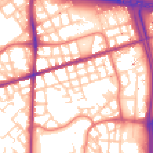
Daytime· 07:00 – 23:00
57.2dB

Night-time· 23:00 – 07:00
47.6dB