2 Egerton Road, Manchester, M14 6XW
About 2 Egerton Road
2 Egerton Road is a four-bedroom detached house in Manchester (M14 6XW). It has a recorded floor area of 95 m² (around 1023 sq ft), construction records dating it to 1967-1975 and council tax band D. The latest certificate (February 2024) shows an E (score 49), well below the UK norm with real room to improve. The recommended improvements would lift it to C (score 75), a 2-band jump. Main heating runs on electricity.
At 95 m² it's 18.8% smaller than the typical home in the postcode (117 m² median across 7 EPCs). On energy efficiency it sits in the bottom 10% of properties in this postcode — significant headroom for improvement. Today's modelled estimate of £391,000 is 39.6% above the 2024 sale price. On a £-per-square-foot basis, the last sale (£274/sq ft) was about 25.4% above the typical sold price in the postcode. Last sale on file: £280,000 in July 2024.
Know exactly what you're buying at 2 Egerton Road
Before you offer, see what the listing won't tell you, the true value, the red flags and the full history.
Already flagged here
Valuation
against the asking price
Risks
planning & flood
Sold prices
similar homes nearby
Trends
the local market
What this property has
Inside
- Bedrooms4
- Bathrooms3
Energy performance
2 Egerton Road sits at the bottom of the postcode for energy efficiency — meaningful headroom to improve.
EPC Rating
Planning history
2 Egerton Road has no planning applications on record.
Notable planning nearby
118applications of note in the surrounding area
We flagged 2 things worth checking at 2 Egerton Road
Independent checks surfaced things a buyer would want to understand before offering. The report explains each one in full, with the underlying data and what to ask.
- Signs of HMO activity in the area
- Larger development activity nearby
30-day money-back guarantee
Sales history & valuation
2 Egerton Road valuation sits well clear of the typical sold price in this postcode.
£391,000
Modelled from EPC, postcode comparables.
£280,000
Recorded with HM Land Registry.
Sales timeline
24 July 2024Most recent
£280,000
Median price across the last 5 sales in M14 6XW: £318,500 (2024–2015).
Nearby sales in M14 6XW
Everything we know about 2 Egerton Road, in one report
What it's really worth, what could be wrong, and the planning, sales and area data in full.
What we flagged
- Signs of HMO activity in the area
- Larger development activity nearby

Versus other Egerton Road homes
EPC Rating for 2 Egerton Road lags the street by a wide margin.
Price per m²
£2,947
Street avg £2,531
Floor Area
95 m²
Street avg 115 m²
Habitable Rooms
4 rooms
Street avg 6 rooms
CO₂ Emissions
10.0 t/year
Street avg 1.7 t/year
Similar properties nearby
1 Barnsfold Avenue
M14 6FJ
1 Besford Close
M14 6NF
1 Brentbridge Road
M14 6AU
1 Delacourt Road
M14 6BU
1 Brailsford Road
M14 6PT
1 Braemar Road
M14 6PR
1 Birchington Road
M14 6BY
1 Caxton Road
M14 6EE
The neighbourhood at a glance
Crime
1/mo
Steady year-on-year across the wider district.
Nearest stop
0.1 km
Friendship Inn — bus stop.
Closest school
0.8 km
Mauldeth Road Primary School. 56 schools nearby.
Go deeper on the local area
The full report breaks down crime, transport links, schools and air quality in depth.
Road noise across the postcode
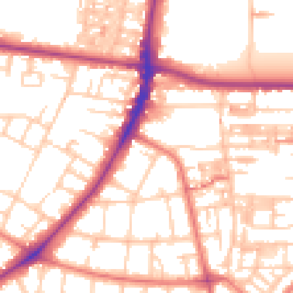
Daytime· 07:00 – 23:00
54.1dB

Night-time· 23:00 – 07:00
43.7dB