9 Burnham Road, Garforth, Leeds, LS25 1LE
About 9 Burnham Road
9 Burnham Road is a semi-detached house in Garforth, Leeds, Leeds (LS25 1LE). It has a recorded floor area of 59 m² (around 638 sq ft), construction records dating it to 1967-1975 and council tax band C. The latest certificate (March 2012) shows an E (score 53), well below the UK norm with real room to improve. The recommended improvements would push it to D (score 55). Main heating runs on electricity. The latest certificate is from March 2012, so improvements made since then won't be reflected.
Across 2012–2014, sale prices on this property compounded at 32.3% per year. Today's modelled estimate of £240,000 sits 60% above the 2014 sale of £150,000. On the market in February 2014 and unlisted since — roughly 12 years. At 59 m² it's 23% smaller than the typical home in the postcode (77 m² median across 12 EPCs).
Know exactly what you're buying at 9 Burnham Road
Before you offer, see what the listing won't tell you, the true value, the red flags and the full history.
Already flagged here
Valuation
against the asking price
Risks
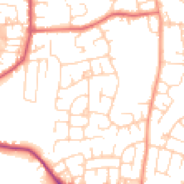
planning & flood
Sold prices
similar homes nearby
Trends
the local market
Energy performance
9 Burnham Road's EPC is over a decade old — improvements since won't be reflected.
EPC Expired
This certificate is over 10 years old and is no longer valid.Expired 22 Mar 2022
EPC Rating
Planning history
9 Burnham Road has no planning applications on record.
Notable planning nearby
1applications of note in the surrounding area
We flagged 1 thing worth checking at 9 Burnham Road
Independent checks surfaced things a buyer would want to understand before offering. The report explains each one in full, with the underlying data and what to ask.
- Recent ownership pattern worth a look
30-day money-back guarantee
Sales history & valuation
9 Burnham Road changed hands twice within eighteen months — unusual for the area.
£240,000
Modelled from EPC, postcode comparables and a sale-price growth of 32.3% per year over 1 year.
£150,000
Growth on file: 32.3% per year over 1 year.
Sales timeline
14 February 2014Most recent
£150,000
+39.5%over 1 year6 December 2012
£107,500
Median price across the last 5 sales in LS25 1LE: £400,000 (2025–2023).
Nearby sales in LS25 1LE
15 Burnham Road, Garforth, Leeds, LS25 1LE
Sold Mar 2025
£245,0001a, Burnham Road, Garforth, Leeds, LS25 1LE
Sold Mar 2024
£490,0001b, Burnham Road, Garforth, Leeds, LS25 1LE
Sold Dec 2023
£400,0001c, Burnham Road, Garforth, Leeds, LS25 1LE
Sold Dec 2023
£444,99513 Burnham Road, Garforth, Leeds, LS25 1LE
Sold Dec 2023
£220,000
Everything we know about 9 Burnham Road, in one report
What it's really worth, what could be wrong, and the planning, sales and area data in full.
What we flagged
- Recent ownership pattern worth a look

Versus other Burnham Road homes
On years held, 9 Burnham Road stands well clear of the street.
Price per m²
£2,529
Street avg £3,187
Floor Area
59 m²
Street avg 84 m²
Habitable Rooms
3 rooms
Street avg 4 rooms
CO₂ Emissions
5.0 t/year
Street avg 3.8 t/year
Similar properties nearby
1 Chapel Close, Garforth
LS25 1AJ
1 Burnham Road, Garforth
LS25 1LE
1 Collingham Drive, Garforth
LS25 1JR
1 Alandale Drive, Garforth
LS25 1DL
1 Avon Drive, Garforth
LS25 1JP
1 Beech Grove Avenue, Garforth
LS25 1EF
1 Alandale Grove, Garforth
LS25 1DJ
1 Church Approach, Garforth
LS25 1JD
The neighbourhood at a glance
Rail-style transport is unusually close for this postcode.
Crime
6/mo
Steady year-on-year across the wider district.
Nearest stop
0.4 km
Derwent Avenue — bus stop.
Closest school
0.3 km
Ninelands Primary School. 9 schools nearby.
Go deeper on the local area
The full report breaks down crime, transport links, schools and air quality in depth.
Road noise across the postcode
Daytime· 07:00 – 23:00
51.3dB
Night-time· 23:00 – 07:00
40.9dB