5 Auden Close, Lincoln, LN2 4BS
About 5 Auden Close
5 Auden Close is a four-bedroom detached house in Lincoln (LN2 4BS). It has a recorded floor area of 391 m² (around 4209 sq ft), construction records dating it to 1967-1975 and council tax band F. The latest certificate (September 2013) shows a C (score 74). The recommended improvements would push it to B (score 82). The latest certificate is from September 2013, so improvements made since then won't be reflected. Other recorded features include a conservatory.
At 391 m² the property is well over the postcode median (150 m² across 9 EPCs), placing it in the larger end of the local stock. Its energy rating outperforms most of the postcode (better than 89% of similar EPCs). Today's modelled estimate of £582,000 sits 70.7% above the 2011 sale of £341,000. On a £-per-square-foot basis, the last sale (£81/sq ft) was about 65.1% below the postcode norm. 2 planning records sit against the property, 2 approved, 0 refused. Past consents include an extension and a conservatory, meaningful when judging how the property has evolved. 15 years since the last transfer (September 2011).
What this property has
Inside
- Bedrooms4
- Dining roomYes
- ConservatoryYes
Outside
- Private gardenYes
- GarageDouble
Everything you need to know about 5 Auden Close
The true value, the hidden risks and the full sale history, in one report.
Pick your report · every report is £14.99
One time fee only - money back guarantee

The data behind every report


Energy performance
5 Auden Close's carbon output runs well above what efficient homes in the postcode produce.
EPC Expired
This certificate is over 10 years old and is no longer valid.Expired 23 Sept 2023
EPC Rating
Get a survey for this property
Level 3 Building Survey
Because the property is a large detached home over 300m², we believe a Level 3 building survey should be considered.
From £1,085 · Includes VAT
Planning history
Council records include a two-storey side and rear extension at 5 Auden Close.
2 applications on record at 5 Auden Close, Lincoln, LN2 4BS
- Aug 2011ConservatoryFullOutcome in report
Extension: Two storey · Side and rear of property
Erection of a two storey side and rear extension and relocation of existing conservatory
Extension- Reference
- 2011/0897/F
- More recent applications — locked
- MixedDec 2011Decision
Unlock 5 Auden Close, Lincoln, LN2 4BS's full planning history
You're seeing the shape of it. The report has the substance.
- Every decision — granted, refused or withdrawn (2 on record)
- All 2 applications on this property in full, plus 6 notable nearby
- What the pattern means for extending or converting here
One time fee only - money back guarantee
Sales history & valuation
5 Auden Close valuation sits well clear of the typical sold price in this postcode.
£582,000
Modelled from EPC, postcode comparables.
£341,000
Recorded with HM Land Registry.
Sales timeline
8 September 2011Most recent
£341,000
Median price across the last 5 sales in LN2 4BS: £442,500 (2025–2015).
Versus other Auden Close homes
Price per m² for 5 Auden Close lags the street by a wide margin.
Price per m²
£872
Street avg £3,145
Floor Area
391 m²
Street avg 165 m²
Habitable Rooms
8 rooms
Street avg 6 rooms
CO₂ Emissions
10.0 t/year
Street avg 7.2 t/year
Everything you need to know about 5 Auden Close
The true value, the hidden risks and the full sale history, in one report.
Pick your report · every report is £14.99
One time fee only - money back guarantee
The data behind every report
Similar properties nearby
The neighbourhood at a glance
Crime
3/mo
Steady year-on-year across the wider district.
Nearest stop
0.1 km
Egerton Road — bus stop.
Closest school
0.4 km
Lincoln Christ's Hospital School. 16 schools nearby.
Go deeper on the local area
A Local Area report breaks down crime, transport links, schools and air quality in depth.
Road noise across the postcode
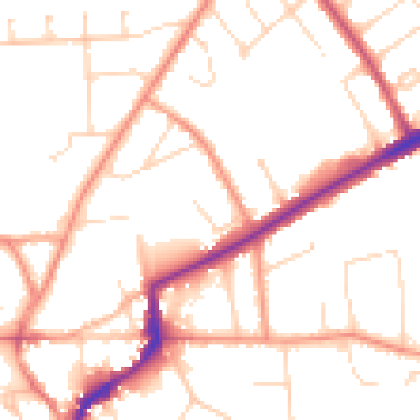
Daytime· 07:00 – 23:00
50.8dB

Night-time· 23:00 – 07:00
40.3dB