2 Palmer Road, Lincoln, LN2 1BH
About 2 Palmer Road
2 Palmer Road is a five-bedroom detached house in Lincoln (LN2 1BH). It has a recorded floor area of 207 m² (around 2228 sq ft), construction records dating it to 2007 onwards and council tax band F. The latest certificate (March 2014) shows a C (score 78), near the top of the C band. The recommended improvements would push it to B (score 84). The latest certificate is from March 2014, so improvements made since then won't be reflected.
At 207 m² it's 28.6% larger than the typical home in the postcode (161 m² median across 3 EPCs). Today's modelled estimate of £514,000 is 20.9% above the 2015 sale price. On a £-per-square-foot basis, the last sale (£191/sq ft) was about 17.3% below the postcode norm. Last sold in March 2015, so it's been off the market for around 11 years.
What this property has
Inside
- Bedrooms5
- Dining roomYes
- EnsuiteYes
- StudyYes
Outside
- Private gardenYes
- GarageYes
Building
- RefurbishedYes
Everything you need to know about 2 Palmer Road
The true value, the hidden risks and the full sale history, in one report.
Pick your report · every report is £14.99
One time fee only - money back guarantee

The data behind every report


Energy performance
2 Palmer Road's EPC is over a decade old — improvements since won't be reflected.
EPC Expired
This certificate is over 10 years old and is no longer valid.Expired 27 Mar 2024
EPC Rating
Get a survey for this property
Level 2 HomeBuyer Report
We've checked 10 risk factors against the available data for this property and believe a Level 2 HomeBuyer Report could be a suitable option for you.
From £795 · Includes VAT
Planning history
2 Palmer Road has no planning applications on record.
But the area is active
5 notable applications nearby — larger schemes and conversions that could reshape the street. The report maps them all.
Sales history & valuation
2 Palmer Road valuation sits well clear of the typical sold price in this postcode.
£514,000
Modelled from EPC, postcode comparables and a sale-price growth of 0.1% per year over 6 years.
£425,000
Growth on file: 0.1% per year over 6 years.
Sales timeline
18 March 2015Most recent
£425,000
+0.7%over 5 years25 June 2009
£421,995
Median price across the last 5 sales in LN2 1BH: £410,000 (2023–2017).
Versus other Palmer Road homes
On price per m², 2 Palmer Road runs well behind the street norm.
Price per m²
£2,053
Street avg £2,907
Floor Area
207 m²
Street avg 149 m²
Habitable Rooms
10 rooms
Street avg 7 rooms
CO₂ Emissions
4.4 t/year
Street avg 3.8 t/year
Everything you need to know about 2 Palmer Road
The true value, the hidden risks and the full sale history, in one report.
Pick your report · every report is £14.99
One time fee only - money back guarantee
The data behind every report
Similar properties nearby
1 Nettleham Road
LN2 1RF
1 Marriner Crescent
LN2 1BB
1 Boole Close
LN2 1AU
1 Bruce Close
LN2 1SL
1 Broadway Close
LN2 1SW
1 Greestone Terrace
LN2 1PR
1 Cottesford Place, James Street
LN2 1QF
1 Bruce Road
LN2 1RN
The neighbourhood at a glance
Daytime road noise here sits well below conversation level — a quiet pocket of the postcode.
Crime
3/mo
Steady year-on-year across the wider district.
Nearest stop
0.1 km
5 Longdales Road — bus stop.
Closest school
0.4 km
Our Lady of Lincoln Catholic Primary School A Voluntary Academy. 16 schools nearby.
Go deeper on the local area
A Local Area report breaks down crime, transport links, schools and air quality in depth.
Road noise across the postcode
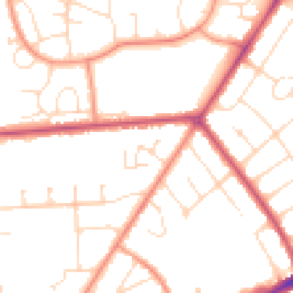
Daytime· 07:00 – 23:00
49.7dB

Night-time· 23:00 – 07:00
40.0dB