11 Countrymans Way, East Goscote, Leicester, LE7 3WU
About 11 Countrymans Way
11 Countrymans Way is a four-bedroom detached house in East Goscote, Leicester, Leicester (LE7 3WU). It has a recorded floor area of 89 m² (around 958 sq ft), construction records dating it to 1967-1975 and council tax band D. The latest certificate (March 2014) returns a high B (score 86), putting the home a stone's throw from an A rating. When first surveyed in November 2012 the rating was F, the property has climbed 4 bands since. Between certificates, wall efficiency went from Poor to Good, roof efficiency went from Poor to Good and window efficiency went from Very Poor to Average; while lighting dropped from Good to Poor. The latest certificate is from March 2014, so improvements made since then won't be reflected.
On energy efficiency it sits in the top 10% of properties in this postcode. Today's modelled estimate of £333,000 sits 72.5% above the 2013 sale of £193,000. 14 years since the last transfer (February 2013). One historical planning record sits against the property in 2015.
What this property has
Inside
- Bedrooms4
Everything you need to know about 11 Countrymans Way
The true value, the hidden risks and the full sale history, in one report.
Pick your report · from £14.99
One time fee only - money back guarantee

The data behind every report


Energy performance
11 Countrymans Way ranks among the most efficient homes in the postcode for energy use.
EPC Expired
This certificate is over 10 years old and is no longer valid.Expired 29 Mar 2024
EPC Rating
Certificate validity
Expired on 29 March 2024
Property Improvements
Changes detected from historical EPC data
Heating controls upgraded for better temperature management
Hot water system upgraded
Single glazing replaced with double or better glazing
Cavity wall insulation installed
Loft insulation upgraded to recommended levels
Low energy lighting percentage decreased

Get a survey for this property
Level 2 HomeBuyer Report
We've checked 10 risk factors against the available data for this property and believe a Level 2 HomeBuyer Report could be a suitable option for you.
From £595 · Includes VAT
Planning history
1 application on record at 11 Countrymans Way, East Goscote, Leicester, LE7 3WU
- Dec 2015FullOutcome in report
Erection of a fence 2.133 metre high to side of dwelling.
- Documents
- 21 docs on file
- Reference
- P/15/1627/2
Unlock 11 Countrymans Way, East Goscote, Leicester, LE7 3WU's full planning history
You're seeing the shape of it. The report has the substance.
- Every decision — granted, refused or withdrawn (1 on record)
- All 1 application on this property in full
- The 21 documents, officer reports & conditions
- What the pattern means for extending or converting here
One time fee only - money back guarantee
Sales history & valuation
11 Countrymans Way valuation sits well clear of the typical sold price in this postcode.
£333,000
Modelled from EPC, postcode comparables.
£193,000
Recorded with HM Land Registry.
Sales timeline
8 February 2013Most recent
£193,000
Median price across the last 5 sales in LE7 3WU: £240,000 (2023–2005).
Nearby sales in LE7 3WU
7 Countrymans Way, East Goscote, Leicester, LE7 3WU
Sold Sept 2023
£295,0003 Countrymans Way, East Goscote, Leicester, LE7 3WU
Sold Aug 2023
£315,0004 Countrymans Way, East Goscote, Leicester, LE7 3WU
Sold Jun 2018
£240,0005 Countrymans Way, East Goscote, Leicester, LE7 3WU
Sold Jul 2014
£230,0002 Countrymans Way, East Goscote, Leicester, LE7 3WU
Sold Jan 2005
£153,000
Versus other Countrymans Way homes
EPC Rating for 11 Countrymans Way runs comfortably ahead of the street norm.
Price per m²
£2,169
Street avg £2,344
Floor Area
89 m²
Street avg 91 m²
Habitable Rooms
6 rooms
Street avg 5 rooms
CO₂ Emissions
1.5 t/year
Street avg 4.3 t/year
Everything you need to know about 11 Countrymans Way
The true value, the hidden risks and the full sale history, in one report.
Pick your report · from £14.99
One time fee only - money back guarantee
The data behind every report
Similar properties nearby
1 Avenue Road, Queniborough
LE7 3FB
1 Ervin Way, Queniborough
LE7 3TT
1 Chestnut Close, Queniborough
LE7 3DW
1 Campion Avenue, Queniborough
LE7 3GD
1 Daisy Close, Queniborough
LE7 3AD
1 Chapel Close, Queniborough
LE7 3AE
1 Chestnut Way, East Goscote
LE7 3QQ
1 Boonton Meadows Way, Queniborough
LE7 3GB
The neighbourhood at a glance
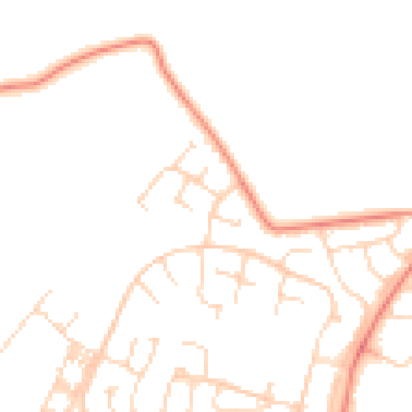
Daytime road noise here sits well below conversation level — a quiet pocket of the postcode.
Crime
191/mo
Steady year-on-year across the wider district.
Nearest stop
0.0 km
Huntsman Dale — bus stop.
Closest school
0.4 km
Broomfield Community Primary School. 6 schools nearby.
Go deeper on the local area
A Local Area report breaks down crime, transport links, schools and air quality in depth.
Road noise across the postcode
Daytime· 07:00 – 23:00
47.8dB

Night-time· 23:00 – 07:00
38.3dB