1 Chapel Close, Queniborough, Leicester, LE7 3AE
About 1 Chapel Close
1 Chapel Close is a three-bedroom detached house in Queniborough, Leicester, Leicester (LE7 3AE). It has a recorded floor area of 86 m² (around 926 sq ft). The latest certificate (March 2015) shows a C (score 79), near the top of the C band. The recommended improvements would push it to B (score 91). The latest certificate is from March 2015, so improvements made since then won't be reflected.
Today's modelled estimate of £385,000 sits 58.8% above the 2015 sale of £242,500. 11 years since the last transfer (November 2015).
Know exactly what you're buying at 1 Chapel Close
Before you offer, see what the listing won't tell you, the true value, the red flags and the full history.
Valuation
against the asking price
Risks
planning & flood
Sold prices
similar homes nearby
Trends
the local market
What this property has
Inside
- Bedrooms3
- Bathrooms2
- Dining roomYes
- EnsuiteYes
Outside
- ParkingOff road
Building
- RefurbishedYes
Energy performance
1 Chapel Close's EPC is over a decade old — improvements since won't be reflected.
EPC Expired
This certificate is over 10 years old and is no longer valid.Expired 23 Mar 2025
EPC Rating
Planning history
1 Chapel Close has no planning applications on record.
The full report still covers planning activity across the surrounding area.
Sales history & valuation
£385,000
Modelled from EPC, postcode comparables.
£242,500
Recorded with HM Land Registry.
Sales timeline
25 November 2015Most recent
£242,500
Median price across the last 3 sales in LE7 3AE: £350,000 (2014–2014).
Everything we know about 1 Chapel Close, in one report
What it's really worth, what could be wrong, and the planning, sales and area data in full.
- Am I paying too much?
- Is something wrong with it?
- Is the agent's story true?
- Will it hold its value?

Similar properties nearby
1 Chestnut Way, East Goscote
LE7 3QQ
1 Daisy Close, Queniborough
LE7 3AD
1 Campion Avenue, Queniborough
LE7 3GD
1 Ervin Way, Queniborough
LE7 3TT
1 Chestnut Close, Queniborough
LE7 3DW
1 Avenue Road, Queniborough
LE7 3FB
1 Avenue Close, Queniborough
LE7 3DS
1 Bluebell Close, Queniborough
LE7 3UY
The neighbourhood at a glance
Daytime road noise here sits well below conversation level — a quiet pocket of the postcode.
Crime
2/mo
Steady year-on-year across the wider district.
Nearest stop
0.2 km
Barkby Road — bus stop.
Closest school
0.1 km
Queniborough Church of England Primary School. 7 schools nearby.
Go deeper on the local area
The full report breaks down crime, transport links, schools and air quality in depth.
Road noise across the postcode
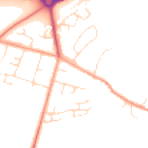
Daytime· 07:00 – 23:00
47.6dB

Night-time· 23:00 – 07:00
38.7dB