18 Ecclesall Avenue, Liverpool, L21 5HQ
About 18 Ecclesall Avenue
18 Ecclesall Avenue is a semi-detached house in Liverpool (L21 5HQ). It has a recorded floor area of 107 m² (around 1152 sq ft), construction records dating it to 1950-1966 and council tax band C. The latest certificate (March 2021) shows a D (score 61), on the cusp of jumping into the C band. The recommended improvements would push it to C (score 74).
At 107 m² it's 15.1% larger than the typical home in the postcode (93 m² median across 8 EPCs). Across 1997–2021, sale prices on this property compounded at 4.9% per year. Today's modelled estimate of £251,000 is 30.1% above the 2021 sale price. On a £-per-square-foot basis, the last sale (£168/sq ft) was about 18.6% above the typical sold price in the postcode. Last sale on file: £193,000 in April 2021. That sale was during the post-pandemic price surge, when transactions cleared materially above pre-2020 trend.
Everything you need to know about 18 Ecclesall Avenue
The true value, the hidden risks and the full sale history, in one report.
30-day money-back guarantee

The data behind every report


Energy performance
EPC Rating
Planning history
18 Ecclesall Avenue has no planning applications on record.
The full report still covers planning activity across the surrounding area.
Sales history & valuation
Sale price has grown by over 3x since 1997.
£251,000
Modelled from EPC, postcode comparables and a sale-price growth of 4.9% per year over 23 years.
£193,000
Growth on file: 4.9% per year over 23 years.
Sales timeline
8 April 2021Most recent
£193,000
+206.3%over 23 years1 December 1997
£63,000
Median price across the last 5 sales in L21 5HQ: £180,000 (2025–2017).
Nearby sales in L21 5HQ
Versus other Ecclesall Avenue homes
On floor area, 18 Ecclesall Avenue stands well clear of the street.
Price per m²
£1,804
Street avg £1,639
Floor Area
107 m²
Street avg 92 m²
Habitable Rooms
6 rooms
Street avg 5 rooms
CO₂ Emissions
5.0 t/year
Street avg 4.2 t/year
Everything you need to know about 18 Ecclesall Avenue
The true value, the hidden risks and the full sale history, in one report.
30-day money-back guarantee
The data behind every report
Similar properties nearby
1 Ennerdale Drive
L21 5HX
11 Arnside
L21 5JH
11 Ennerdale Drive
L21 5HX
1 Hawkshead Drive
L21 5JE
1 Netherton Park Road
L21 5JD
1 Kirkstone Road South
L21 5HJ
10 Silverdale Drive
L21 5HU
10 Arnside
L21 5JH
The neighbourhood at a glance
Reported crime in the wider district is trending notably upward year-on-year.
Crime
4/mo
Rising year-on-year across the wider district.
Nearest stop
0.1 km
Eccleshall Avenue — bus stop.
Closest school
0.4 km
St Philip's Church of England Controlled Primary School. 42 schools nearby.
Go deeper on the local area
The full report breaks down crime, transport links, schools and air quality in depth.
Road noise across the postcode
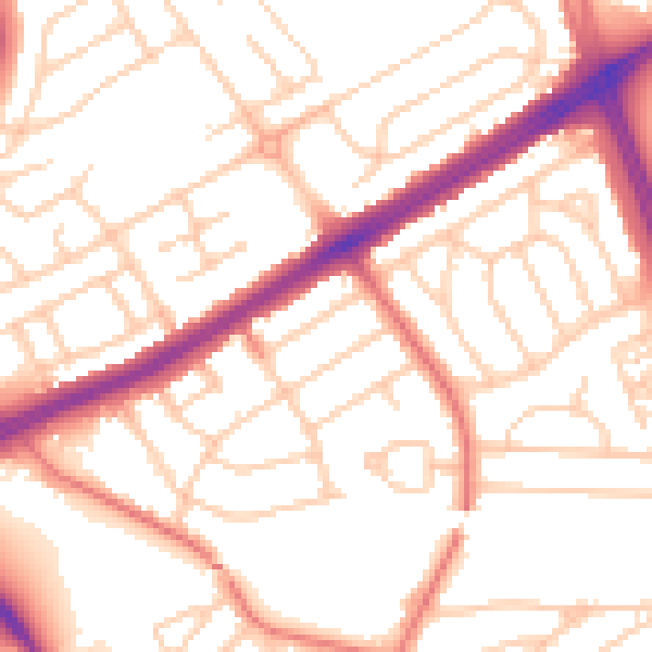
Daytime· 07:00 – 23:00
53.3dB

Night-time· 23:00 – 07:00
42.4dB