16 Ecclesall Avenue, Liverpool, L21 5HQ
About 16 Ecclesall Avenue
16 Ecclesall Avenue is a three-bedroom semi-detached house in Liverpool (L21 5HQ). It has a recorded floor area of 94 m² (around 1012 sq ft), construction records dating it to 1930-1949 and council tax band C. The latest certificate (August 2016) shows a C (score 72). The recommended improvements would push it to B (score 84). Records show the property has been extended at some point in its history.
Its energy rating outperforms most of the postcode (better than 88% of similar EPCs). Across 2016–2019, sale prices on this property compounded at 9.5% per year. Today's modelled estimate of £240,000 is 37.1% above the 2019 sale price. On a £-per-square-foot basis, the last sale (£173/sq ft) was about 43.7% above the typical sold price in the postcode. Most recent transfer: August 2019 at £175,000.
What this property has
Inside
- Bedrooms3
- Bathrooms1
- Dining roomYes
- CloakroomYes
Outside
- Private gardenFront and rear
- DrivewayYes
Building
- Heating systemGas
- Previously extendedYes
Everything you need to know about 16 Ecclesall Avenue
The true value, the hidden risks and the full sale history, in one report.
30-day money-back guarantee

The data behind every report


Energy performance
EPC Rating
Planning history
16 Ecclesall Avenue has no planning applications on record.
The full report still covers planning activity across the surrounding area.
Sales history & valuation
16 Ecclesall Avenue valuation sits well clear of the typical sold price in this postcode.
£240,000
Modelled from EPC, postcode comparables and a sale-price growth of 9.5% per year over 3 years.
£175,000
Growth on file: 9.5% per year over 3 years.
Sales timeline
1 August 2019Most recent
£175,000
+27.3%over 2 years5 December 2016
£137,500
Median price across the last 5 sales in L21 5HQ: £193,000 (2025–2017).
Nearby sales in L21 5HQ
Versus other Ecclesall Avenue homes
EPC Rating for 16 Ecclesall Avenue runs comfortably ahead of the street norm.
Price per m²
£1,862
Street avg £1,631
Floor Area
94 m²
Street avg 94 m²
Habitable Rooms
5 rooms
Street avg 5 rooms
CO₂ Emissions
3.1 t/year
Street avg 4.4 t/year
Everything you need to know about 16 Ecclesall Avenue
The true value, the hidden risks and the full sale history, in one report.
30-day money-back guarantee
The data behind every report
Similar properties nearby
1 Ennerdale Drive
L21 5HX
11 Ennerdale Drive
L21 5HX
1 Hawkshead Drive
L21 5JE
10 Arnside
L21 5JH
10 St Matthews Avenue
L21 5JS
1 Silverdale Drive
L21 5HT
1 Netherton Park Road
L21 5JD
10 Silverdale Drive
L21 5HU
The neighbourhood at a glance
Reported crime in the wider district is trending notably upward year-on-year.
Crime
4/mo
Rising year-on-year across the wider district.
Nearest stop
0.1 km
Eccleshall Avenue — bus stop.
Closest school
0.4 km
St Philip's Church of England Controlled Primary School. 42 schools nearby.
Go deeper on the local area
The full report breaks down crime, transport links, schools and air quality in depth.
Road noise across the postcode
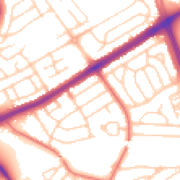
Daytime· 07:00 – 23:00
53.3dB

Night-time· 23:00 – 07:00
42.4dB