2 Ecclesall Avenue, Liverpool, L21 5HQ
About 2 Ecclesall Avenue
2 Ecclesall Avenue is a five-bedroom property in Liverpool (L21 5HQ). It has council tax band C.
One planning record on file: an extension approved in 2003. Past consents include an extension, a porch and a conservatory, meaningful when judging how the property has evolved. Last sale on file: £255,000 in November 2021. That sale was during the post-pandemic price surge, when transactions cleared materially above pre-2020 trend. 5 bedrooms is on the larger side for this postcode, where 3 is the typical count.
What this property has
Inside
- Bedrooms5
- Bathrooms1
Everything you need to know about 2 Ecclesall Avenue
The true value, the hidden risks and the full sale history, in one report.
30-day money-back guarantee

The data behind every report


Energy performance
No EPC on record
This property doesn't have an Energy Performance Certificate yet. An EPC is required to sell or let — and unlocks our automated valuation.
Planning history
- Mar 2003PorchFullIn report
Extension: Two storey · Rear of property
Erection of a two storey extension including a garage, a porch & canopy at the front and a conservatory at the rear of the dwellinghouse.
ExtensionConservatory- Reference
- S/2003/0097
What's in 2 Ecclesall Avenue, Liverpool, L21 5HQ's planning history?
Refusals, disputes and full decisions on this property and nearby, in the report.
Sales history & valuation
Latest sale on 2 Ecclesall Avenue was the highest on Land Registry record across the postcode.
£255,000
Recorded with HM Land Registry.
Sales timeline
26 November 2021Most recent
£255,000
Median price across the last 5 sales in L21 5HQ: £180,000 (2025–2017).
Nearby sales in L21 5HQ
Everything you need to know about 2 Ecclesall Avenue
The true value, the hidden risks and the full sale history, in one report.
30-day money-back guarantee
The data behind every report
Similar properties nearby
1 St Matthews Avenue
L21 5JP
1 Kirkstone Road South
L21 5HJ
1 Thirlmere Drive
L21 5JL
1 Netherton Park Road
L21 5JD
10 Silverdale Drive
L21 5HU
1 Thornbridge Avenue
L21 5JU
1 Ennerdale Drive
L21 5HX
11 Ennerdale Drive
L21 5HX
The neighbourhood at a glance
Reported crime in the wider district is trending notably upward year-on-year.
Crime
4/mo
Rising year-on-year across the wider district.
Nearest stop
0.1 km
Eccleshall Avenue — bus stop.
Closest school
0.4 km
St Philip's Church of England Controlled Primary School. 42 schools nearby.
Go deeper on the local area
The full report breaks down crime, transport links, schools and air quality in depth.
Road noise across the postcode
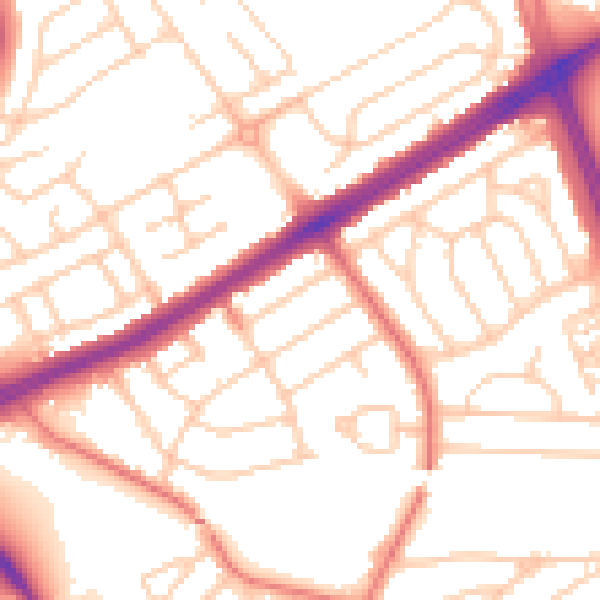
Daytime· 07:00 – 23:00
53.3dB

Night-time· 23:00 – 07:00
42.4dB