1 Ennerdale Drive, Liverpool, L21 5HX
About 1 Ennerdale Drive
1 Ennerdale Drive is a three-bedroom semi-detached house in Liverpool (L21 5HX). It has a recorded floor area of 97 m² (around 1044 sq ft), construction records dating it to 1930-1949 and council tax band C. The latest certificate (September 2018) shows a D (score 62), on the cusp of jumping into the C band. The recommended improvements would push it to C (score 80).
At 97 m² it's 16.9% larger than the typical home in the postcode (83 m² median across 9 EPCs). Across 2018–2024, sale prices on this property compounded at 3% per year. Today's modelled estimate of £246,000 is 14.4% above the 2024 sale price. On a £-per-square-foot basis, the last sale (£206/sq ft) was about 37.8% above the typical sold price in the postcode. Most recent transfer: November 2024 at £215,000.
What this property has
Inside
- Bedrooms3
- Bathrooms1
Everything you need to know about 1 Ennerdale Drive
The true value, the hidden risks and the full sale history, in one report.
30-day money-back guarantee

The data behind every report


Energy performance
EPC Rating
Planning history
1 Ennerdale Drive has no planning applications on record.
The full report still covers planning activity across the surrounding area.
Sales history & valuation
Latest sale on 1 Ennerdale Drive was the highest on Land Registry record across the postcode.
£246,000
Modelled from EPC, postcode comparables and a sale-price growth of 3.0% per year over 6 years.
£215,000
Growth on file: 3.0% per year over 6 years.
Sales timeline
22 November 2024Most recent
£215,000
+19.4%over 5 years18 December 2018
£180,000
Median price across the last 5 sales in L21 5HX: £151,500 (2021–2016).
Nearby sales in L21 5HX
Versus other Ennerdale Drive homes
1 Ennerdale Drive outperforms the street on price per m² by a wide margin.
Price per m²
£2,216
Street avg £1,653
Floor Area
97 m²
Street avg 83 m²
Habitable Rooms
6 rooms
Street avg 5 rooms
CO₂ Emissions
4.4 t/year
Street avg 4.4 t/year
Everything you need to know about 1 Ennerdale Drive
The true value, the hidden risks and the full sale history, in one report.
30-day money-back guarantee
The data behind every report
Similar properties nearby
11 Ennerdale Drive
L21 5HX
1 Hawkshead Drive
L21 5JE
10 Arnside
L21 5JH
1 Netherton Park Road
L21 5JD
10 St Matthews Avenue
L21 5JS
10 Silverdale Drive
L21 5HU
1 Silverdale Drive
L21 5HT
1 Thornbridge Avenue
L21 5JU
The neighbourhood at a glance
Reported crime in the wider district is trending notably upward year-on-year.
Crime
4/mo
Rising year-on-year across the wider district.
Nearest stop
0.2 km
Thackeray Gardens — bus stop.
Closest school
0.5 km
The Salesian Academy of St John Bosco. 40 schools nearby.
Go deeper on the local area
The full report breaks down crime, transport links, schools and air quality in depth.
Road noise across the postcode
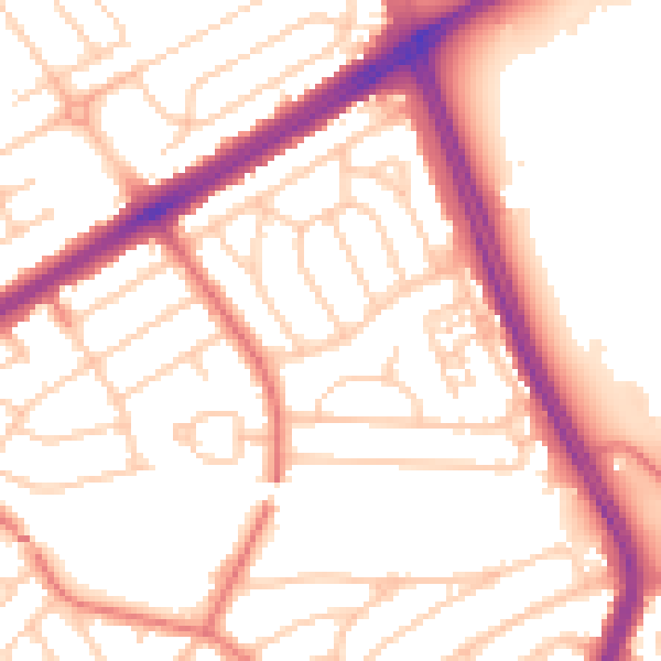
Daytime· 07:00 – 23:00
53.8dB

Night-time· 23:00 – 07:00
43.7dB