27 Ennerdale Drive, Liverpool, L21 5HX
About 27 Ennerdale Drive
27 Ennerdale Drive is a three-bedroom semi-detached house in Liverpool (L21 5HX). It has a recorded floor area of 82 m² (around 883 sq ft), construction records dating it to 1950-1966 and council tax band C. The latest certificate (March 2017) shows a D (score 64), on the cusp of jumping into the C band. The recommended improvements would lift it to B (score 85), a 2-band jump. Records show the property has been extended at some point in its history.
Today's modelled estimate of £257,000 sits 62.7% above the 2017 sale of £158,000. On a £-per-square-foot basis, the last sale (£179/sq ft) was about 19.8% above the typical sold price in the postcode. On the market in July 2017 and unlisted since — roughly 9 years.
What this property has
Inside
- Bedrooms3
- Bathrooms1
- Utility roomYes
Outside
- Private gardenRear
Building
- Previously extendedYes
- RefurbishedYes
Everything you need to know about 27 Ennerdale Drive
The true value, the hidden risks and the full sale history, in one report.
30-day money-back guarantee

The data behind every report


Energy performance
Recommended upgrades on file would lift this property by multiple EPC bands.
EPC Rating
Planning history
27 Ennerdale Drive has no planning applications on record.
The full report still covers planning activity across the surrounding area.
Sales history & valuation
27 Ennerdale Drive's sale-price growth has lagged the wider UK trajectory across its history on file.
£257,000
Modelled from EPC, postcode comparables and a sale-price growth of 0.5% per year over 11 years.
£158,000
Growth on file: 0.5% per year over 11 years.
Sales timeline
13 July 2017Most recent
£158,000
+5.4%over 10 years17 October 2006
£149,950
Median price across the last 5 sales in L21 5HX: £179,950 (2024–2018).
Nearby sales in L21 5HX
Versus other Ennerdale Drive homes
EPC Rating for 27 Ennerdale Drive runs comfortably ahead of the street norm.
Price per m²
£1,927
Street avg £1,685
Floor Area
82 m²
Street avg 85 m²
Habitable Rooms
6 rooms
Street avg 5 rooms
CO₂ Emissions
3.7 t/year
Street avg 4.5 t/year
Everything you need to know about 27 Ennerdale Drive
The true value, the hidden risks and the full sale history, in one report.
30-day money-back guarantee
The data behind every report
Similar properties nearby
1 Ennerdale Drive
L21 5HX
1 Netherton Park Road
L21 5JD
11 Ennerdale Drive
L21 5HX
10 Silverdale Drive
L21 5HU
1 Hawkshead Drive
L21 5JE
1 Thornbridge Avenue
L21 5JU
10 Arnside
L21 5JH
10 St Matthews Avenue
L21 5JS
The neighbourhood at a glance
Reported crime in the wider district is trending notably upward year-on-year.
Crime
4/mo
Rising year-on-year across the wider district.
Nearest stop
0.2 km
Thackeray Gardens — bus stop.
Closest school
0.5 km
The Salesian Academy of St John Bosco. 40 schools nearby.
Go deeper on the local area
The full report breaks down crime, transport links, schools and air quality in depth.
Road noise across the postcode
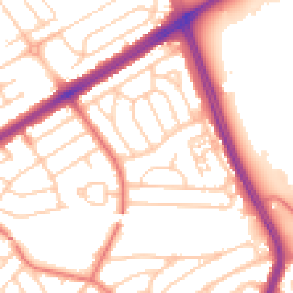
Daytime· 07:00 – 23:00
53.8dB

Night-time· 23:00 – 07:00
43.7dB