10 Arnside, Liverpool, L21 5JH
About 10 Arnside
10 Arnside is a three-bedroom semi-detached house in Liverpool (L21 5JH). It has a recorded floor area of 129 m² (around 1389 sq ft), construction records dating it to 1967-1975 and council tax band B. The latest certificate (December 2014) shows an F (score 36), near the bottom of the EPC scale. The recommended improvements would lift it to C (score 74), a 3-band jump. The latest certificate is from December 2014, so improvements made since then won't be reflected. Our model identifies extension potential, subject to local planning policy.
At 129 m² the property is well over the postcode median (72 m² across 17 EPCs), placing it in the larger end of the local stock. It lags the bulk of the postcode on energy efficiency (less efficient than 82% of similar EPCs). Across 2001–2021, sale prices on this property compounded at 4.3% per year. Today's modelled estimate of £221,000 is 37.3% above the 2021 sale price. On a £-per-square-foot basis, the last sale (£116/sq ft) was about 30.9% below the postcode norm. Last sale on file: £161,000 in March 2021. That sale was during the post-pandemic price surge, when transactions cleared materially above pre-2020 trend.
What this property has
Inside
- Bedrooms3
- Bathrooms1
Outside
- DrivewayYes
Building
- RefurbishedYes
- Extension potentialPossible
Everything you need to know about 10 Arnside
The true value, the hidden risks and the full sale history, in one report.
30-day money-back guarantee

The data behind every report


Energy performance
10 Arnside's carbon output runs well above what efficient homes in the postcode produce.
EPC Expired
This certificate is over 10 years old and is no longer valid.Expired 03 Dec 2024
EPC Rating
Planning history
10 Arnside has no planning applications on record.
The full report still covers planning activity across the surrounding area.
Sales history & valuation
Sale price has at least doubled since 2001.
£221,000
Modelled from EPC, postcode comparables and a sale-price growth of 4.3% per year over 20 years.
£161,000
Growth on file: 4.3% per year over 20 years.
Sales timeline
1 March 2021Most recent
£161,000
+130.0%over 20 years28 February 2001
£70,000
Median price across the last 5 sales in L21 5JH: £210,000 (2025–2019).
Versus other Arnside homes
10 Arnside is notably below the street on price per m².
Price per m²
£1,248
Street avg £2,237
Floor Area
129 m²
Street avg 81 m²
Habitable Rooms
6 rooms
Street avg 4 rooms
CO₂ Emissions
9.9 t/year
Street avg 5.8 t/year
Everything you need to know about 10 Arnside
The true value, the hidden risks and the full sale history, in one report.
30-day money-back guarantee
The data behind every report
Similar properties nearby
10 St Matthews Avenue
L21 5JS
1 Hawkshead Drive
L21 5JE
1 Silverdale Drive
L21 5HT
11 Ennerdale Drive
L21 5HX
1 Ennerdale Drive
L21 5HX
10 Keswick Drive
L21 5JQ
1 Netherton Park Road
L21 5JD
10 Silverdale Drive
L21 5HU
The neighbourhood at a glance
Reported crime in the wider district is trending notably upward year-on-year.
Crime
4/mo
Rising year-on-year across the wider district.
Nearest stop
0.2 km
Boundary Road — bus stop.
Closest school
0.4 km
The Salesian Academy of St John Bosco. 41 schools nearby.
Go deeper on the local area
The full report breaks down crime, transport links, schools and air quality in depth.
Road noise across the postcode
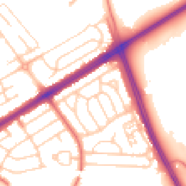
Daytime· 07:00 – 23:00
53.8dB

Night-time· 23:00 – 07:00
44.1dB