2 Arnside, Liverpool, L21 5JH
About 2 Arnside
2 Arnside is a three-bedroom semi-detached house in Liverpool (L21 5JH). It has a recorded floor area of 80 m² (around 861 sq ft), construction records dating it to 1930-1949 and council tax band C. The latest certificate (March 2018) shows an F (score 26), near the bottom of the EPC scale. The recommended improvements would lift it to C (score 79), a 3-band jump. Period features are noted in the property record. The home occupies a corner plot.
Today's modelled estimate of £233,000 sits 79.2% above the 2018 sale of £130,000. One planning record on file: an extension approved in 2019. Past consents include an extension, meaningful when judging how the property has evolved. It lags the bulk of the postcode on energy efficiency (less efficient than 82% of similar EPCs). Last sale on file: £130,000 in December 2018.
What this property has
Inside
- Bedrooms3
- Bathrooms1
- Utility roomYes
Outside
- Private gardenFront and rear
- GarageYes
- Corner plotYes
Building
- Period featuresYes
- RefurbishedYes
Everything you need to know about 2 Arnside
The true value, the hidden risks and the full sale history, in one report.
30-day money-back guarantee

The data behind every report


Energy performance
2 Arnside's carbon output runs well above what efficient homes in the postcode produce.
EPC Rating
Planning history
- Feb 2019ExtensionFullIn report
Erection of a two storey extension to the side and a single storey to the rear of the dwellinghouse.
- Agent
- dowelldesignservices
- Documents
- 8 docs on file
- Reference
- DC/2018/02163
What's in 2 Arnside, Liverpool, L21 5JH's planning history?
Refusals, disputes and full decisions on this property and nearby, in the report.
Sales history & valuation
2 Arnside valuation sits well clear of the typical sold price in this postcode.
£233,000
Modelled from EPC, postcode comparables.
£130,000
Recorded with HM Land Registry.
Sales timeline
19 December 2018Most recent
£130,000
Median price across the last 5 sales in L21 5JH: £210,000 (2025–2019).
Versus other Arnside homes
On epc rating, 2 Arnside runs well behind the street norm.
Price per m²
£1,625
Street avg £2,190
Floor Area
80 m²
Street avg 87 m²
Habitable Rooms
5 rooms
Street avg 4 rooms
CO₂ Emissions
8.0 t/year
Street avg 6.0 t/year
Everything you need to know about 2 Arnside
The true value, the hidden risks and the full sale history, in one report.
30-day money-back guarantee
The data behind every report
Similar properties nearby
11 Ennerdale Drive
L21 5HX
1 Hawkshead Drive
L21 5JE
10 Arnside
L21 5JH
1 Ennerdale Drive
L21 5HX
10 St Matthews Avenue
L21 5JS
1 Silverdale Drive
L21 5HT
1 Netherton Park Road
L21 5JD
10 Silverdale Drive
L21 5HU
The neighbourhood at a glance
Reported crime in the wider district is trending notably upward year-on-year.
Crime
4/mo
Rising year-on-year across the wider district.
Nearest stop
0.2 km
Boundary Road — bus stop.
Closest school
0.4 km
The Salesian Academy of St John Bosco. 41 schools nearby.
Go deeper on the local area
The full report breaks down crime, transport links, schools and air quality in depth.
Road noise across the postcode
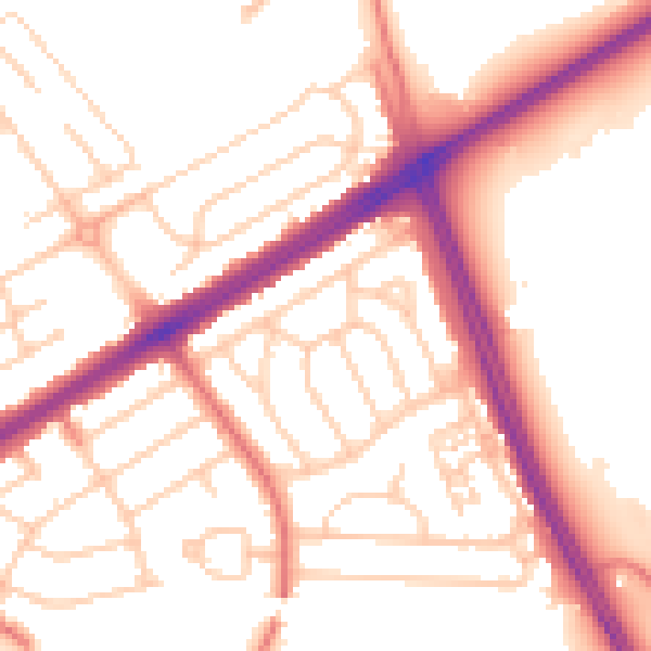
Daytime· 07:00 – 23:00
53.8dB

Night-time· 23:00 – 07:00
44.1dB