11 Arnside, Liverpool, L21 5JH
About 11 Arnside
11 Arnside is a detached house in Liverpool (L21 5JH). It has a recorded floor area of 81 m² (around 872 sq ft), construction records dating it to 1950-1966 and council tax band D. The latest certificate (November 2016) shows a G (score 1), near the bottom of the EPC scale. Earlier certificates rated it F (August 2016); the latest reading is one band lower. Between certificates, roof efficiency dropped from Good to Very Poor. The recommended improvements would lift it to D (score 65), a 3-band jump. Main heating runs on to be used only when there is no heating/hot.
On energy efficiency it sits in the bottom 10% of properties in this postcode — significant headroom for improvement. Today's modelled estimate of £237,000 sits 82.3% above the 2016 sale of £130,000. On the market in August 2016 and unlisted since — roughly 10 years.
Everything you need to know about 11 Arnside
The true value, the hidden risks and the full sale history, in one report.
30-day money-back guarantee

The data behind every report


Energy performance
11 Arnside sits at the bottom of the postcode for energy efficiency — meaningful headroom to improve.
EPC Rating
Planning history
11 Arnside has no planning applications on record.
The full report still covers planning activity across the surrounding area.
Sales history & valuation
11 Arnside valuation sits well clear of the typical sold price in this postcode.
£237,000
Modelled from EPC, postcode comparables.
£130,000
Recorded with HM Land Registry.
Sales timeline
31 August 2016Most recent
£130,000
Median price across the last 5 sales in L21 5JH: £210,000 (2025–2019).
Versus other Arnside homes
EPC Rating for 11 Arnside lags the street by a wide margin.
Price per m²
£1,605
Street avg £2,192
Floor Area
81 m²
Street avg 86 m²
Habitable Rooms
4 rooms
Street avg 4 rooms
CO₂ Emissions
10.0 t/year
Street avg 5.8 t/year
Everything you need to know about 11 Arnside
The true value, the hidden risks and the full sale history, in one report.
30-day money-back guarantee
The data behind every report
Similar properties nearby
11 Ennerdale Drive
L21 5HX
1 Hawkshead Drive
L21 5JE
1 Ennerdale Drive
L21 5HX
10 Arnside
L21 5JH
10 St Matthews Avenue
L21 5JS
1 Silverdale Drive
L21 5HT
1 Netherton Park Road
L21 5JD
10 Ecclesall Avenue
L21 5HQ
The neighbourhood at a glance
Reported crime in the wider district is trending notably upward year-on-year.
Crime
4/mo
Rising year-on-year across the wider district.
Nearest stop
0.2 km
Boundary Road — bus stop.
Closest school
0.4 km
The Salesian Academy of St John Bosco. 41 schools nearby.
Go deeper on the local area
The full report breaks down crime, transport links, schools and air quality in depth.
Road noise across the postcode
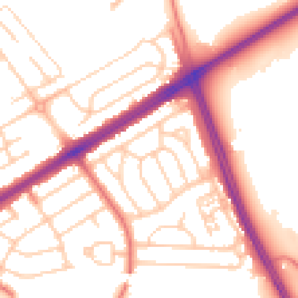
Daytime· 07:00 – 23:00
53.8dB

Night-time· 23:00 – 07:00
44.1dB