13 Hutland Road, Ipswich, IP4 4EZ
About 13 Hutland Road
13 Hutland Road is a three-bedroom semi-detached house in Ipswich (IP4 4EZ). It has a recorded floor area of 88 m² (around 944 sq ft), construction records dating it to 1950-1966 and council tax band B. The latest certificate (June 2009) shows a C (score 74). The latest certificate is from June 2009, so improvements made since then won't be reflected.
It hasn't traded since December 2009, a hold of 16 years that's notably long for the area. Across the public record there are 4 sales, relatively high churn for a single property. That sale fell during the post-crash dip, which often skews comparisons against later neighbouring sales. Its energy rating outperforms most of the postcode (better than 79% of similar EPCs). Across 1995–2009, sale prices on this property compounded at 10.1% per year. Today's modelled estimate of £225,000 is 31.6% above the 2009 sale price. On a £-per-square-foot basis, the last sale (£181/sq ft) was about 25.7% above the typical sold price in the postcode.
What this property has
Inside
- Bedrooms3
Everything you need to know about 13 Hutland Road
The true value, the hidden risks and the full sale history, in one report.
Pick your report · every report is £14.99
One time fee only - money back guarantee

The data behind every report


Energy performance
13 Hutland Road's EPC is over a decade old — improvements since won't be reflected.
EPC Expired
This certificate is over 10 years old and is no longer valid.Expired 21 Jun 2019
EPC Rating
Get a survey for this property
Level 2 HomeBuyer Report
We've checked 10 risk factors against the available data for this property and believe a Level 2 HomeBuyer Report could be a suitable option for you.
From £545 · Includes VAT
Planning history
13 Hutland Road has no planning applications on record.
But the area is active
12 notable applications nearby — larger schemes and conversions that could reshape the street. The report maps them all.
Sales history & valuation
13 Hutland Road has more than tripled in price since its earliest registered sale in 1995.
£225,000
Modelled from EPC, postcode comparables and a sale-price growth of 10.1% per year over 14 years.
£171,000
Growth on file: 10.1% per year over 14 years.
Sales timeline
10 December 2009Most recent
£171,000
+22.2%over 5 years27 May 2004
£139,950
+139.2%over 5 years27 November 1998
£58,500
+32.2%over 3 years3 November 1995
£44,250
Median price across the last 5 sales in IP4 4EZ: £190,000 (2025–2021).
Versus other Hutland Road homes
EPC Rating for 13 Hutland Road runs comfortably ahead of the street norm.
Price per m²
£1,950
Street avg £1,958
Floor Area
88 m²
Street avg 82 m²
CO₂ Emissions
2.8 t/year
Street avg 4.0 t/year
Years Held
16 years
Street avg 10 years
Everything you need to know about 13 Hutland Road
The true value, the hidden risks and the full sale history, in one report.
Pick your report · every report is £14.99
One time fee only - money back guarantee
The data behind every report
Similar properties nearby
The neighbourhood at a glance
Reported crime in the wider district is trending notably upward year-on-year.
Crime
9/mo
Rising year-on-year across the wider district.
Nearest stop
0.2 km
Khartoum Road — bus stop.
Closest school
0.2 km
St Mary's Catholic Primary School, Ipswich. 21 schools nearby.
Go deeper on the local area
A Local Area report breaks down crime, transport links, schools and air quality in depth.
Road noise across the postcode
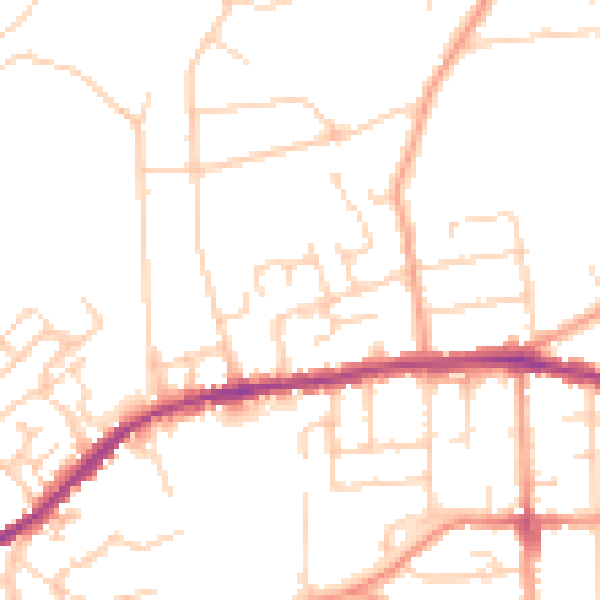
Daytime· 07:00 – 23:00
48.7dB

Night-time· 23:00 – 07:00
38.9dB