20 Brettenham Crescent, Ipswich, IP4 2UB
About 20 Brettenham Crescent
20 Brettenham Crescent is a four-bedroom detached house in Ipswich (IP4 2UB). It has a recorded floor area of 122 m² (around 1313 sq ft), construction records dating it to 1996-2002 and council tax band F. The latest certificate (May 2025) shows a D (score 68), on the cusp of jumping into the C band. The rating has held steady at D across 2 certificates since October 2013. Between certificates, window efficiency went from Average to Good and lighting went from Poor to Very Good; while hot-water efficiency dropped from Good to Average. The recommended improvements would lift it to B (score 83), a 2-band jump.
Across 1998–2015, sale prices on this property compounded at 5% per year. Today's modelled estimate of £478,000 is 44.8% above the 2015 sale price. On a £-per-square-foot basis, the last sale (£251/sq ft) was about 33.6% above the typical sold price in the postcode. 11 years since the last transfer (October 2015). 2 planning records sit against the property, 0 approved, 0 refused.
What this property has
Inside
- Bedrooms4
Everything you need to know about 20 Brettenham Crescent
The true value, the hidden risks and the full sale history, in one report.
Pick your report · every report is £14.99
One time fee only - money back guarantee

The data behind every report


Energy performance
Recommended upgrades on file would lift this property by multiple EPC bands.
EPC Rating
Property Improvements
Changes detected from historical EPC data
Hot water system changed
Window efficiency improved
Loft insulation upgraded to recommended levels
More low energy lighting installed
Get a survey for this property
Level 2 HomeBuyer Report
We've checked 10 risk factors against the available data for this property and believe a Level 2 HomeBuyer Report could be a suitable option for you.
From £695 · Includes VAT
Planning history
Planning history at 20 Brettenham Crescent is exclusively tree-management applications — typical for a property with mature trees on or near the plot.
2 applications on record at 20 Brettenham Crescent, Ipswich, IP4 2UB
- Dec 2014Tree WorksTreesOutcome in report
Various reduction of Sycamore by up to 3m and re-shaping where appropriated. Tree protected by TPO 3 of 1994.
- Documents
- 1 doc on file
- Reference
- 14/00913/TALF
- More recent applications — locked
- Tree WorksNov 2017Decision
Unlock 20 Brettenham Crescent, Ipswich, IP4 2UB's full planning history
You're seeing the shape of it. The report has the substance.
- Every decision — granted, refused or withdrawn
- All 2 applications on this property in full, plus 15 notable nearby
- The 3 documents, officer reports & conditions
- What the pattern means for extending or converting here
One time fee only - money back guarantee
Sales history & valuation
Sale price has at least doubled since 1998.
£478,000
Modelled from EPC, postcode comparables and a sale-price growth of 5.0% per year over 17 years.
£330,000
Growth on file: 5.0% per year over 17 years.
Sales timeline
15 October 2015Most recent
£330,000
+76.0%over 15 years8 June 2000
£187,500
+33.0%over 2 years30 April 1998
£141,000
Median price across the last 5 sales in IP4 2UB: £522,500 (2025–2023).
Nearby sales in IP4 2UB
9 Brettenham Crescent, Ipswich, IP4 2UB
Sold Nov 2025
£485,00016 Brettenham Crescent, Ipswich, IP4 2UB
Sold Sept 2025
£600,00023 Brettenham Crescent, Ipswich, IP4 2UB
Sold Jul 2023
£450,00028 Brettenham Crescent, Ipswich, IP4 2UB
Sold May 2023
£550,00024 Brettenham Crescent, Ipswich, IP4 2UB
Sold Jan 2023
£522,500
Versus other Brettenham Crescent homes
Floor Area for 20 Brettenham Crescent lags the street by a wide margin.
Price per m²
£2,705
Street avg £3,094
Floor Area
122 m²
Street avg 138 m²
Habitable Rooms
7 rooms
Street avg 7 rooms
CO₂ Emissions
4.6 t/year
Street avg 4.6 t/year
Everything you need to know about 20 Brettenham Crescent
The true value, the hidden risks and the full sale history, in one report.
Pick your report · every report is £14.99
One time fee only - money back guarantee
The data behind every report
Similar properties nearby
1 Constable Road
IP4 2UN
1 Belgrave Close
IP4 2TT
1 Brettenham Crescent
IP4 2UB
1 Berkeley Close
IP4 2TS
1 George Frost Close
IP4 2UG
1 Gainsborough Road
IP4 2UR
1 Borrowdale Avenue
IP4 2TN
1 Ellisons Crescent
IP4 2GG
The neighbourhood at a glance
Reported crime in the wider district is trending notably upward year-on-year.
Crime
9/mo
Rising year-on-year across the wider district.
Nearest stop
0.1 km
Kettlebaston Way — bus stop.
Closest school
1.1 km
St Margaret's Church of England Voluntary Aided Primary School, Ipswich. 28 schools nearby.
Go deeper on the local area
A Local Area report breaks down crime, transport links, schools and air quality in depth.
Road noise across the postcode
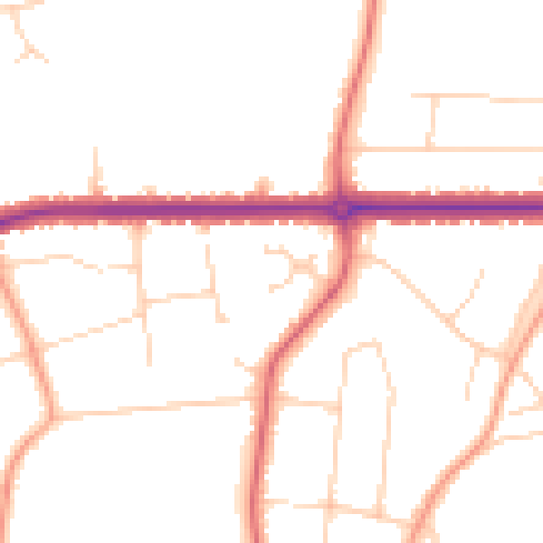
Daytime· 07:00 – 23:00
48.6dB
Night-time· 23:00 – 07:00
40.0dB