9 Ashtree Road, Watton, Thetford, IP25 6PF
About 9 Ashtree Road
9 Ashtree Road is a detached house in Watton, Thetford, Thetford (IP25 6PF). It has a recorded floor area of 67 m² (around 721 sq ft), construction records dating it to 1967-1975 and council tax band B. The latest certificate (September 2013) shows a D (score 65), on the cusp of jumping into the C band. The recommended improvements would lift it to B (score 90), a 2-band jump. Main heating runs on oil. The latest certificate is from September 2013, so improvements made since then won't be reflected.
Untraded for 30 years, with the last transfer in October 1996. Only one transfer is on record with HM Land Registry, suggesting it has stayed in the same hands for a long time. Today's modelled estimate of £198,000 sits 360.5% above the 1996 sale of £43,000. On a £-per-square-foot basis, the last sale (£60/sq ft) was about 66.6% below the postcode norm.
Know exactly what you're buying at 9 Ashtree Road
Before you offer, see what the listing won't tell you, the true value, the red flags and the full history.
Already flagged here
Valuation
against the asking price
Risks
planning & flood
Sold prices
similar homes nearby
Trends
the local market
Energy performance
Recommended upgrades on file would lift this property by multiple EPC bands.
EPC Expired
This certificate is over 10 years old and is no longer valid.Expired 05 Sept 2023
EPC Rating
Planning history
9 Ashtree Road has no planning applications on record.
Notable planning nearby
5applications of note in the surrounding area
We flagged 1 thing worth checking at 9 Ashtree Road
Independent checks surfaced things a buyer would want to understand before offering. The report explains each one in full, with the underlying data and what to ask.
- Larger development activity nearby
30-day money-back guarantee
Sales history & valuation
9 Ashtree Road's modelled value sits at over four times its earliest registered sale price (1996).
£198,000
Modelled from EPC, postcode comparables.
£43,000
Recorded with HM Land Registry.
Sales timeline
9 October 1996Most recent
£43,000
Median price across the last 5 sales in IP25 6PF: £240,000 (2025–2022).
Nearby sales in IP25 6PF
13 Ashtree Road, Watton, Thetford, IP25 6PF
Sold Feb 2025
£251,50014 Ashtree Road, Watton, Thetford, IP25 6PF
Sold Dec 2023
£262,0008 Ashtree Road, Watton, Thetford, IP25 6PF
Sold Dec 2022
£205,0006 Ashtree Road, Watton, Thetford, IP25 6PF
Sold Apr 2022
£225,00012 Ashtree Road, Watton, Thetford, IP25 6PF
Sold Apr 2022
£240,000
Everything we know about 9 Ashtree Road, in one report
What it's really worth, what could be wrong, and the planning, sales and area data in full.
What we flagged
- Larger development activity nearby

Versus other Ashtree Road homes
9 Ashtree Road is notably below the street on price per m².
Price per m²
£642
Street avg £2,256
Floor Area
67 m²
Street avg 81 m²
Habitable Rooms
3 rooms
Street avg 4 rooms
CO₂ Emissions
3.7 t/year
Street avg 4.5 t/year
Similar properties nearby
1 Ashtree Road, Watton
IP25 6PF
1 Beechwood Avenue, Watton
IP25 6AJ
1 Akrotiri Square, Watton
IP25 6HY
1 Blenheim Crescent, Griston
IP25 6RN
1 Broadmoor Cottage, Broadmoor Road, Carbrooke
IP25 6TE
1 Anson Way, Carbrooke
IP25 6JY
1 Bowes Close, Watton
IP25 6UR
1 Bridle Road, Watton
IP25 6NA
The neighbourhood at a glance
Daytime road noise here sits well below conversation level — a quiet pocket of the postcode.
Crime
3/mo
Steady year-on-year across the wider district.
Closest school
0.6 km
Wayland Academy. 4 schools nearby.
Go deeper on the local area
The full report breaks down crime, transport links, schools and air quality in depth.
Road noise across the postcode
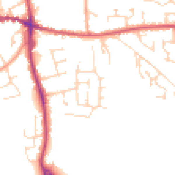
Daytime· 07:00 – 23:00
48.9dB

Night-time· 23:00 – 07:00
40.3dB