7 Connaught Hill, Loughton, IG10 4DU
About 7 Connaught Hill
7 Connaught Hill is a property in Loughton (IG10 4DU). It has council tax band G.
It hasn't traded since November 2000, a hold of 26 years that's notably long for the area. 2 planning records sit against the property, 1 approved, 1 refused. Past consents include an extension, meaningful when judging how the property has evolved. Across 1998–2000, sale prices on this property compounded at 30.2% per year.
Know exactly what you're buying at 7 Connaught Hill
Before you offer, see what the listing won't tell you, the true value, the red flags and the full history.
Valuation
against the asking price
Risks
planning & flood
Sold prices
similar homes nearby
Trends
the local market
Energy performance
No EPC on record
This property doesn't have an Energy Performance Certificate yet. An EPC is required to sell or let — and unlocks our automated valuation.
Planning history
7 Connaught Hill has 2 separate extension applications on the council record.
- Jun 2006ExtensionFullIn report
Extension: Single storey · Side of property
First floor side extension. (Revised application)
- Documents
- 3 docs on file
- Reference
- EPF/0822/06
- Mar 2006ExtensionFullIn report
Extension: Single storey · Side of property
First floor side extension.
- Documents
- 3 docs on file
- Reference
- EPF/0211/06
What's in 7 Connaught Hill, Loughton, IG10 4DU's planning history?
Refusals, disputes and full decisions on this property and nearby, in the report.
Sales history & valuation
7 Connaught Hill has more than doubled in price since the earliest registered sale in 1998.
£500,000
Growth on file: 30.2% per year over 3 years.
Sales timeline
10 November 2000Most recent
£500,000
+100.0%over 2 years27 March 1998
£250,000
Median price across the last 5 sales in IG10 4DU: £945,000 (2020–2012).
Nearby sales in IG10 4DU
Everything we know about 7 Connaught Hill, in one report
What it's really worth, what could be wrong, and the planning, sales and area data in full.
- Am I paying too much?
- Is something wrong with it?
- Is the agent's story true?
- Will it hold its value?

Similar properties nearby
The neighbourhood at a glance
Rail-style transport is unusually close for this postcode.
Crime
4/mo
Steady year-on-year across the wider district.
Nearest stop
0.2 km
Forest Road — bus stop.
Closest school
0.5 km
Roding Valley High School. 13 schools nearby.
Go deeper on the local area
The full report breaks down crime, transport links, schools and air quality in depth.
Road noise across the postcode
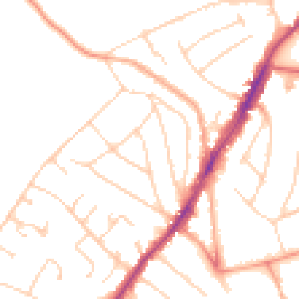
Daytime· 07:00 – 23:00
49.4dB

Night-time· 23:00 – 07:00
39.1dB