19 Churchfields, Loughton, IG10 1AG
About 19 Churchfields
19 Churchfields is a three-bedroom property in Loughton (IG10 1AG). It has council tax band F. Period features are noted in the property record. The home occupies a corner plot.
On the market in October 2015 and unlisted since — roughly 11 years. Across 1999–2015, sale prices on this property compounded at 9.1% per year.
Know exactly what you're buying at 19 Churchfields
Before you offer, see what the listing won't tell you, the true value, the red flags and the full history.
Valuation
against the asking price
Risks
planning & flood
Sold prices
similar homes nearby
Trends
the local market
What this property has
Inside
- Bedrooms3
- Bathrooms2
- Dining roomYes
- EnsuiteYes
Outside
- GarageDouble
- Corner plotYes
Building
- Period featuresYes
Energy performance
No EPC on record
This property doesn't have an Energy Performance Certificate yet. An EPC is required to sell or let — and unlocks our automated valuation.
Planning history
19 Churchfields has no planning applications on record.
The full report still covers planning activity across the surrounding area.
Sales history & valuation
19 Churchfields has more than quadrupled in price since its earliest registered sale in 1999.
£750,000
Growth on file: 9.1% per year over 16 years.
Sales timeline
21 October 2015Most recent
£750,000
+50.0%over 6 years16 January 2009
£500,000
+170.3%over 9 years19 September 1999
£185,000
Median price across the last 5 sales in IG10 1AG: £775,000 (2020–2016).
Nearby sales in IG10 1AG
Everything we know about 19 Churchfields, in one report
What it's really worth, what could be wrong, and the planning, sales and area data in full.
- Am I paying too much?
- Is something wrong with it?
- Is the agent's story true?
- Will it hold its value?

Similar properties nearby
1 Lanterns, Whitakers Way
IG10 1SQ
1 Kings Green
IG10 1RJ
1 Brook Road
IG10 1BW
1 Chapel Terrace, Forest Road
IG10 1ED
1 Brancaster Place, Church Hill
IG10 1QN
1 Ashmeads, Church Lane
IG10 1PE
1 Forest Way
IG10 1JG
1 Hill Top Place, Hill Top Close
IG10 1PW
The neighbourhood at a glance
Rail-style transport is unusually close for this postcode.
Crime
4/mo
Steady year-on-year across the wider district.
Nearest stop
0.1 km
Forest Road — bus stop.
Closest school
0.3 km
Roding Valley High School. 13 schools nearby.
Go deeper on the local area
The full report breaks down crime, transport links, schools and air quality in depth.
Road noise across the postcode
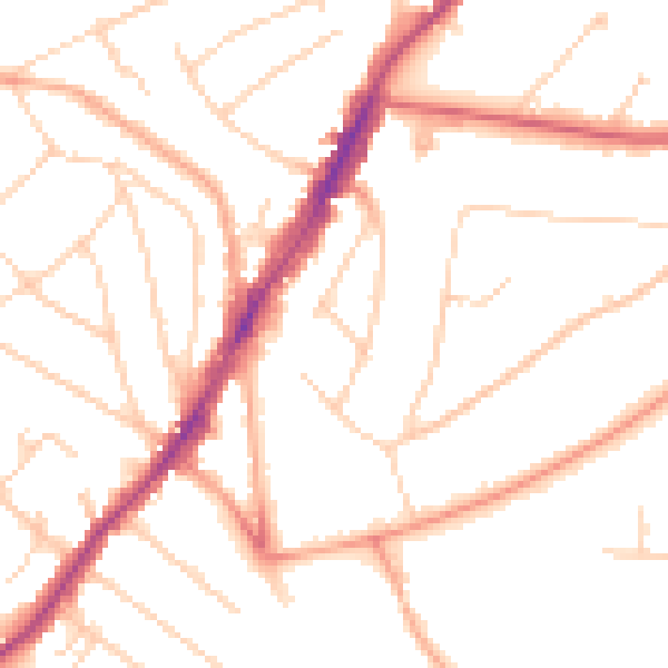
Daytime· 07:00 – 23:00
49.4dB

Night-time· 23:00 – 07:00
39.7dB