Model valuation£417,0008 Busby Close
Local market context
Lime Trees is a three-bedroom mid-terrace house in Stokenchurch, High Wycombe, High Wycombe (HP14 3TJ). It has a recorded floor area of 75 m² (around 807 sq ft), construction records dating it to before 1900 and council tax band E. The latest certificate (December 2020) shows a D (score 61), on the cusp of jumping into the C band. When first surveyed in July 2014 the rating was E, the property has climbed 1 band since. Between certificates, window efficiency went from Poor to Average, hot-water efficiency went from Poor to Good and lighting went from Very Poor to Very Good. The recommended improvements would lift it to B (score 87), a 2-band jump. Period features are noted in the property record.
Across 2014–2021, sale prices on this property compounded at 9.4% per year. On a £-per-square-foot basis, the last sale (£465/sq ft) was about 97.4% above the typical sold price in the postcode. Sold November 2021 for £375,000. That sale was during the post-pandemic price surge, when transactions cleared materially above pre-2020 trend. One historical planning record sits against the property in 2025.
The true value, the hidden risks and the full sale history, in one report.
Pick your report · from £14.99
One time fee only - money back guarantee

The data behind every report


Recommended upgrades on file would lift this property by multiple EPC bands.
Certificate validity
Valid until 7 December 2030
Changes detected from historical EPC data
Heating controls upgraded for better temperature management
Hot water system upgraded
Windows upgraded, improving insulation
More low energy lighting installed

Get a survey for this property
Because the property was built before 1919 and has solid (non-cavity) walls, we believe a Level 3 building survey should be considered.
From £1,020 · Includes VAT
A recent planning application at Lime Trees was refused — worth checking the council file.
1 application on record at Lime Trees, Church Path, Stokenchurch, High Wycombe, HP14 3TJ
Householder application for construction of a new boundary fence and associated planting (retrospective)
You're seeing the shape of it. The report has the substance.
One time fee only - money back guarantee
The latest sale landed in the post-pandemic price surge — useful context when reading the figure.
£402,000
Modelled from EPC, postcode comparables and a sale-price growth of 9.4% per year over 7 years.
£375,000
Growth on file: 9.4% per year over 7 years.
12 November 2021Most recent
£375,000
+87.5%over 7 years12 November 2014
£200,000
Median price across the last 5 sales in HP14 3TJ: £330,000 (2024–2017).
Burgess Cottage, Church Path, Stokenchurch, High Wycombe, HP14 3TJ
Sold Nov 2024
2 Chapel Cottages, Church Path, Stokenchurch, High Wycombe, HP14 3TJ
Sold Nov 2023
Burgess House, Church Path, Stokenchurch, High Wycombe, HP14 3TJ
Sold Mar 2020
3 Church Path, Stokenchurch, High Wycombe, HP14 3TJ
Sold Aug 2006
Lilacs, Church Path, Stokenchurch, High Wycombe, HP14 3TJ
Sold Jan 1999
On price per m², Lime Trees stands well clear of the street.
Price per m²
£5,000
Street avg £3,127
Floor Area
75 m²
Street avg 90 m²
Habitable Rooms
3 rooms
Street avg 5 rooms
CO₂ Emissions
3.5 t/year
Street avg 4.4 t/year
Property research, connected
Explore sale histories, valuations, energy ratings and local areas. Ask the assistant to connect the details and take your research further.
Start your researchHP14 3SZ
HP14 3JB
HP14 3XT
HP14 3EQ
HP14 3FW
HP14 3SG
HP14 3FZ
HP14 3FN
Crime
51/mo
Falling year-on-year across the wider district.
Nearest stop
0.2 km
The King's Arms Hotel — bus stop.
Closest school
0.5 km
Stokenchurch Primary School. 2 schools nearby.
Go deeper on the local area
A Local Area report breaks down crime, transport links, schools and air quality in depth.
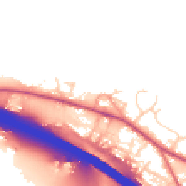
Daytime· 07:00 – 23:00
52.8dB

Night-time· 23:00 – 07:00
46.4dB