9 Southdown Crescent, Harrow, HA2 0QT
About 9 Southdown Crescent
9 Southdown Crescent is a three-bedroom property in Harrow (HA2 0QT). It has council tax band D.
It hasn't traded since January 2006, a hold of 20 years that's notably long for the area.
Know exactly what you're buying at 9 Southdown Crescent
Before you offer, see what the listing won't tell you, the true value, the red flags and the full history.
Already flagged here
Valuation
against the asking price
Risks
planning & flood
Sold prices
similar homes nearby
Trends
the local market
What this property has
Inside
- Bedrooms3
Outside
- Private gardenFront and rear
Building
- RefurbishedYes
Energy performance
No EPC on record
This property doesn't have an Energy Performance Certificate yet. An EPC is required to sell or let — and unlocks our automated valuation.
Planning history
9 Southdown Crescent has no planning applications on record.
Notable planning nearby
5applications of note in the surrounding area
We flagged 2 things worth checking at 9 Southdown Crescent
Independent checks surfaced things a buyer would want to understand before offering. The report explains each one in full, with the underlying data and what to ask.
- Signs of HMO activity in the area
- Larger development activity nearby
30-day money-back guarantee
Sales history & valuation
£225,000
Recorded with HM Land Registry.
Sales timeline
27 January 2006Most recent
£225,000
Median price across the last 5 sales in HA2 0QT: £527,000 (2025–2019).
Nearby sales in HA2 0QT
Everything we know about 9 Southdown Crescent, in one report
What it's really worth, what could be wrong, and the planning, sales and area data in full.
What we flagged
- Signs of HMO activity in the area
- Larger development activity nearby

Similar properties nearby
1 Chatsworth Gardens
HA2 0RS
1 Blake House, Cottage Close
HA2 0HG
1 Crown Street
HA2 0HT
1 Abbots Drive
HA2 0RE
1 Athena Close, Byron Hill Road
HA2 0JB
1 Cottage Close
HA2 0HA
1 Clonmel Close
HA2 0JZ
1 Emerald Court, Drinkwater Road
HA2 0FR
The neighbourhood at a glance
Rail-style transport is unusually close for this postcode.
Crime
6/mo
Rising year-on-year across the wider district.
Nearest stop
0.2 km
Porlock Avenue — bus stop.
Closest school
0.2 km
Grange Primary School. 37 schools nearby.
Go deeper on the local area
The full report breaks down crime, transport links, schools and air quality in depth.
Road noise across the postcode
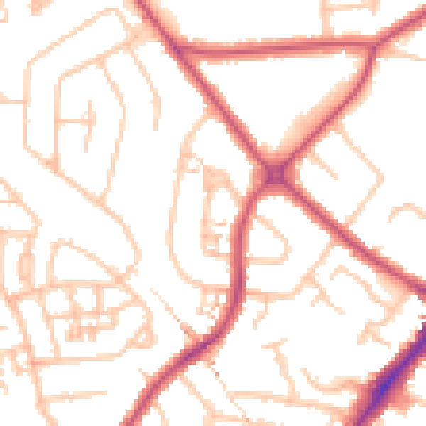
Daytime· 07:00 – 23:00
51.1dB

Night-time· 23:00 – 07:00
39.6dB