10 Shaftesbury Avenue, South Harrow, Harrow, HA2 0PH
About 10 Shaftesbury Avenue
10 Shaftesbury Avenue is a property in South Harrow, Harrow, Harrow (HA2 0PH). It has council tax band D.
Energy performance
No EPC on record
This property doesn't have an Energy Performance Certificate yet. An EPC is required to sell or let — and unlocks our automated valuation.
Planning history
No planning applications are recorded against 10 Shaftesbury Avenue, South Harrow, Harrow, HA2 0PH. The full report also covers planning activity across the surrounding area.
Sales history & valuation
No sales recorded with HM Land Registry
That can mean the property has never traded since the registry began publishing in 1995, was a new build that hasn't been registered yet, or is held in the same hands long-term.
Median price across the last 5 sales in HA2 0PH: £580,000 (2024–2021).
Nearby sales in HA2 0PH
28 Shaftesbury Avenue, South Harrow, Harrow, HA2 0PH
Sold Oct 2024
£580,00022 Shaftesbury Avenue, South Harrow, Harrow, HA2 0PH
Sold Jul 2023
£500,00024 Shaftesbury Avenue, South Harrow, Harrow, HA2 0PH
Sold Dec 2021
£635,0008 Shaftesbury Avenue, South Harrow, Harrow, HA2 0PH
Sold Sept 2021
£600,0002 Shaftesbury Avenue, South Harrow, Harrow, HA2 0PH
Sold Aug 2021
£573,500
Similar properties nearby
1 Abbots Drive
HA2 0RE
1 Abbotts Court, Ashbourne Avenue
HA2 0LE
1 Abercorn Crescent
HA2 0PX
1 Alma Court, Hornbuckle Close
HA2 0YE
1 Amber Court, Goldsmith Close
HA2 0EZ
1 Annan Court, Coles Crescent
HA2 0SW
1 Apple Grove
HA2 0FD
1 Athena Close, Byron Hill Road
HA2 0JB
The neighbourhood at a glance
Rail-style transport is unusually close for this postcode.
Crime
6/mo
Rising year-on-year across the wider district.
Nearest stop
0.1 km
Grange Road (HA2) — bus stop.
Closest school
0.3 km
Roxeth Primary School. 33 schools nearby.
Road noise across the postcode
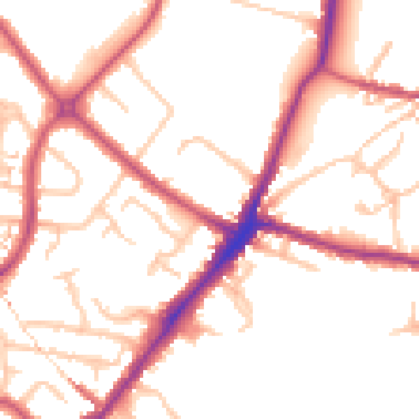
Daytime· 07:00 – 23:00
51.4dB

Night-time· 23:00 – 07:00
41.6dB