20 Ferring Close, Harrow, HA2 0AR
About 20 Ferring Close
20 Ferring Close is a two-bedroom semi-detached house in Harrow (HA2 0AR). It has a recorded floor area of 88 m² (around 947 sq ft), construction records dating it to 1930-1949 and council tax band D. The latest certificate (May 2013) shows a D (score 56), a step below the typical UK home. The rating has held steady at D across 2 certificates since August 2009. Between certificates, roof efficiency went from Average to Good, hot-water efficiency went from Average to Good and main heating went from Average to Good; while window efficiency dropped from Good to Average. The recommended improvements would push it to C (score 79). The latest certificate is from May 2013, so improvements made since then won't be reflected. Other recorded features include a conservatory and outbuildings. Period features are noted in the property record. It has already been extended once and our model flags further extension potential, a sign of buyer flexibility. The home occupies a cul-de-sac position.
One planning record on file: an extension approved in 2002. Past consents include an extension, meaningful when judging how the property has evolved. Today's modelled estimate of £554,000 is 42.8% above the 2013 sale price. On a £-per-square-foot basis, the last sale (£410/sq ft) was about 27.8% above the typical sold price in the postcode. Last changed hands 13 years ago, in September 2013.
Know exactly what you're buying at 20 Ferring Close
Before you offer, see what the listing won't tell you, the true value, the red flags and the full history.
Already flagged here
Valuation
against the asking price
Risks
planning & flood
Sold prices
similar homes nearby
Trends
the local market
What this property has
Inside
- Bedrooms2
- ConservatoryYes
Outside
- Private gardenYes
- GarageYes
- OutbuildingsYes
- Cul-de-sacYes
Building
- Heating systemGas
- Period featuresYes
- Previously extendedYes
- Extension potentialPossible
Energy performance
20 Ferring Close's EPC is over a decade old — improvements since won't be reflected.
EPC Expired
This certificate is over 10 years old and is no longer valid.Expired 09 May 2023
EPC Rating
Property Improvements
Changes detected from historical EPC data
Hot water efficiency improved
Loft insulation upgraded to recommended levels
Planning history
20 Ferring Close has an approved single-storey rear extension on the planning record.
- Aug 2002ExtensionFullIn report
Extension: Single storey · Rear of property
Single storey rear extension
- Reference
- WEST/691/02/FUL
We flagged 2 things worth checking at 20 Ferring Close
Independent checks surfaced things a buyer would want to understand before offering. The report explains each one in full, with the underlying data and what to ask.
- Signs of HMO activity in the area
- Larger development activity nearby
30-day money-back guarantee
Sales history & valuation
20 Ferring Close valuation sits well clear of the typical sold price in this postcode.
£554,000
Modelled from EPC, postcode comparables.
£388,000
Recorded with HM Land Registry.
Sales timeline
12 September 2013Most recent
£388,000
Median price across the last 5 sales in HA2 0AR: £520,000 (2024–2019).
Everything we know about 20 Ferring Close, in one report
What it's really worth, what could be wrong, and the planning, sales and area data in full.
What we flagged
- Signs of HMO activity in the area
- Larger development activity nearby

Versus other Ferring Close homes
Price per m² for 20 Ferring Close lags the street by a wide margin.
Price per m²
£4,409
Street avg £4,761
Floor Area
88 m²
Street avg 87 m²
Habitable Rooms
4 rooms
Street avg 4 rooms
CO₂ Emissions
4.6 t/year
Street avg 4.7 t/year
Similar properties nearby
1 Blake House, Cottage Close
HA2 0HG
1 Crown Street
HA2 0HT
1 Abbots Drive
HA2 0RE
1 Athena Close, Byron Hill Road
HA2 0JB
1 Clonmel Close
HA2 0JZ
1 Chatsworth Gardens
HA2 0RS
1 Emerald Court, Drinkwater Road
HA2 0FR
1 Cowen Avenue
HA2 0LU
The neighbourhood at a glance
Rail-style transport is unusually close for this postcode.
Crime
6/mo
Rising year-on-year across the wider district.
Nearest stop
0.1 km
Porlock Avenue — bus stop.
Closest school
0.1 km
Whitmore High School. 38 schools nearby.
Go deeper on the local area
The full report breaks down crime, transport links, schools and air quality in depth.
Road noise across the postcode
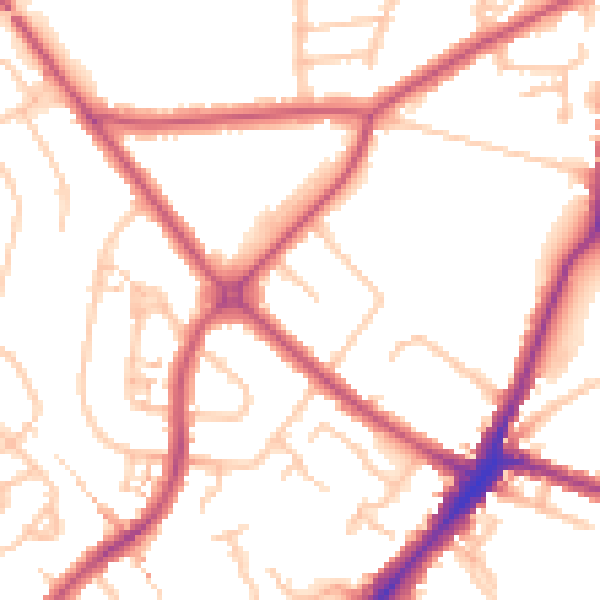
Daytime· 07:00 – 23:00
51.7dB

Night-time· 23:00 – 07:00
40.8dB