22 Barentin Way, Petersfield, GU31 4QN
About 22 Barentin Way
22 Barentin Way is a four-bedroom detached house in Petersfield (GU31 4QN). It has a recorded floor area of 145 m² (around 1561 sq ft), construction records dating it to 2003-2006 and council tax band E. The latest certificate (November 2020) shows a C (score 78), near the top of the C band. The rating has held steady at C across 2 certificates since October 2010. Between certificates, lighting went from Good to Very Good; while window efficiency dropped from Good to Average. The recommended improvements would push it to B (score 87). Other recorded features include a conservatory.
At 145 m² the property is well over the postcode median (75 m² across 31 EPCs), placing it in the larger end of the local stock. Most recent transfer: January 2021 at £510,000. Across the public record there are 5 sales, relatively high churn for a single property. That sale was during the post-pandemic price surge, when transactions cleared materially above pre-2020 trend. 2 planning records sit against the property, 1 approved, 0 refused. Past consents include an extension and partial demolition, meaningful when judging how the property has evolved. Across 2004–2021, sale prices on this property compounded at 2.7% per year. Today's modelled estimate of £659,000 is 29.2% above the 2021 sale price. On a £-per-square-foot basis, the last sale (£327/sq ft) was about 16.1% above the typical sold price in the postcode.
Know exactly what you're buying at 22 Barentin Way
Before you offer, see what the listing won't tell you, the true value, the red flags and the full history.
Already flagged here
Valuation
against the asking price
Risks
planning & flood
Sold prices
similar homes nearby
Trends
the local market
What this property has
Inside
- Bedrooms4
- Bathrooms2
- Dining roomYes
- Utility roomYes
- EnsuiteYes
- ConservatoryYes
Outside
- Private gardenRear
- GarageYes
Building
- RefurbishedYes
Energy performance
EPC Rating
Property Improvements
Changes detected from historical EPC data
More low energy lighting installed
Planning history
Planning history includes recorded demolition works, indicating a major rebuild phase at this address.
- Aug 2025DemolitionFullIn report
Extension: Single storey · Rear of property
Demolition of existing conservatory and single-storey rear projection, and construction of a new single-storey rear extension to replace the demolished elements.
- Agent
- James Freeman Architects
Extension- Documents
- 13 docs on file
- Reference
- SDNP/25/02155/HOUS
- Jul 2009ConservatoryFullIn report
Extension: Rear of property
CONSERVATORY TO REAR
- Agent
- Adrian Bird RIBA
Extension- Documents
- 8 docs on file
- Reference
- 51971
We flagged 2 things worth checking at 22 Barentin Way
Independent checks surfaced things a buyer would want to understand before offering. The report explains each one in full, with the underlying data and what to ask.
- Larger development activity nearby
- Recent ownership pattern worth a look
30-day money-back guarantee
Sales history & valuation
22 Barentin Way changed hands twice within eighteen months — unusual for the area.
£659,000
Modelled from EPC, postcode comparables and a sale-price growth of 2.7% per year over 16 years.
£510,000
Growth on file: 2.7% per year over 16 years.
Sales timeline
14 January 2021Most recent
£510,000
+22.0%over 1 year18 December 2019
£418,000
-14.7%over 2 years4 July 2017
£490,000
+31.4%over 6 years17 April 2011
£373,000
+13.0%over 6 years28 October 2004
£330,000
Median price across the last 5 sales in GU31 4QN: £560,000 (2025–2022).
Nearby sales in GU31 4QN
Everything we know about 22 Barentin Way, in one report
What it's really worth, what could be wrong, and the planning, sales and area data in full.
What we flagged
- Larger development activity nearby
- Recent ownership pattern worth a look

Versus other Barentin Way homes
EPC Rating for 22 Barentin Way runs comfortably ahead of the street norm.
Price per m²
£3,517
Street avg £3,993
Floor Area
145 m²
Street avg 96 m²
Habitable Rooms
5 rooms
Street avg 5 rooms
CO₂ Emissions
3.1 t/year
Street avg 2.8 t/year
Similar properties nearby
The neighbourhood at a glance
Rail-style transport is unusually close for this postcode.
Crime
1/mo
Steady year-on-year across the wider district.
Nearest stop
0.2 km
Churchers College — bus stop.
Closest school
0.4 km
Herne Junior School. 5 schools nearby.
Go deeper on the local area
The full report breaks down crime, transport links, schools and air quality in depth.
Road noise across the postcode
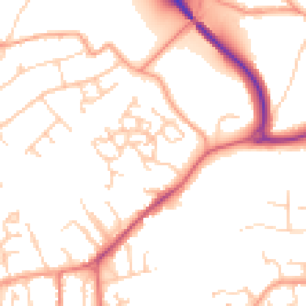
Daytime· 07:00 – 23:00
51.0dB

Night-time· 23:00 – 07:00
41.2dB