2 Cleave Road, Sticklepath, Barnstaple, EX31 2DU
About 2 Cleave Road
2 Cleave Road is a property in Sticklepath, Barnstaple, Barnstaple (EX31 2DU). It has council tax band F.
Untraded for 20 years, with the last transfer in October 2006.
Know exactly what you're buying at 2 Cleave Road
Before you offer, see what the listing won't tell you, the true value, the red flags and the full history.
Already flagged here
Valuation
against the asking price
Risks
planning & flood
Sold prices
similar homes nearby
Trends
the local market
Energy performance
No EPC on record
This property doesn't have an Energy Performance Certificate yet. An EPC is required to sell or let — and unlocks our automated valuation.
Planning history
2 Cleave Road has no planning applications on record.
Notable planning nearby
2applications of note in the surrounding area
We flagged 1 thing worth checking at 2 Cleave Road
Independent checks surfaced things a buyer would want to understand before offering. The report explains each one in full, with the underlying data and what to ask.
- Larger development activity nearby
30-day money-back guarantee
Sales history & valuation
£290,000
Recorded with HM Land Registry.
Sales timeline
12 October 2006Most recent
£290,000
Median price across the last 5 sales in EX31 2DU: £500,000 (2025–2020).
Nearby sales in EX31 2DU
34 Cleave Road, Sticklepath, Barnstaple, EX31 2DU
Sold Aug 2025
£391,83045 Cleave Road, Sticklepath, Barnstaple, EX31 2DU
Sold Oct 2022
£575,00042 Cleave Road, Sticklepath, Barnstaple, EX31 2DU
Sold Oct 2022
£500,00052 Cleave Road, Sticklepath, Barnstaple, EX31 2DU
Sold Mar 2022
£625,00039 Cleave Road, Sticklepath, Barnstaple, EX31 2DU
Sold May 2020
£345,000
Everything we know about 2 Cleave Road, in one report
What it's really worth, what could be wrong, and the planning, sales and area data in full.
What we flagged
- Larger development activity nearby

Similar properties nearby
1 Cleave Park, Fremington
EX31 2NS
1 Beech Park, Fremington
EX31 2PR
1 Colombelles Close, Fremington
EX31 2SN
1 Anchorwood View, Sticklepath
EX31 2FH
1 Byeways Close, Fremington
EX31 2PL
1 Crescent Avenue, Sticklepath
EX31 2ED
1 Clampitts Cottages, Bickington
EX31 2NB
1 Combrew Cottages, Combrew Lane, Bickington
EX31 2ND
The neighbourhood at a glance
Rail-style transport is unusually close for this postcode.
Crime
2/mo
Steady year-on-year across the wider district.
Nearest stop
0.1 km
Stafford — bus stop.
Closest school
0.3 km
Petroc. 14 schools nearby.
Go deeper on the local area
The full report breaks down crime, transport links, schools and air quality in depth.
Road noise across the postcode
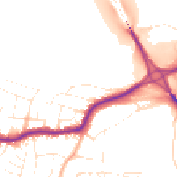
Daytime· 07:00 – 23:00
50.5dB
Night-time· 23:00 – 07:00
41.9dB