19 Barons Gate, Barnet, EN4 8SU
About 19 Barons Gate
19 Barons Gate is a semi-detached house in Barnet (EN4 8SU). It has a recorded floor area of 108 m² (around 1165 sq ft), construction records dating it to 1930-1949 and council tax band E. The latest certificate (October 2008) shows a D (score 63), on the cusp of jumping into the C band. The latest certificate is from October 2008, so improvements made since then won't be reflected.
It hasn't traded since April 2009, a hold of 17 years that's notably long for the area. That sale fell during the post-crash dip, which often skews comparisons against later neighbouring sales. Across 1999–2009, sale prices on this property compounded at 7.3% per year. Today's modelled estimate of £642,000 sits 94.5% above the 2009 sale of £330,000. On a £-per-square-foot basis, the last sale (£283/sq ft) was about 19.4% below the postcode norm.
Everything you need to know about 19 Barons Gate
The true value, the hidden risks and the full sale history, in one report.
30-day money-back guarantee

The data behind every report


Energy performance
19 Barons Gate's EPC is over a decade old — improvements since won't be reflected.
EPC Expired
This certificate is over 10 years old and is no longer valid.Expired 11 Oct 2018
EPC Rating
Planning history
19 Barons Gate has no planning applications on record.
Notable planning nearby
2applications of note in the surrounding area
We flagged 1 thing worth checking at 19 Barons Gate
Independent checks surfaced things a buyer would want to understand before offering. The report explains each one in full, with the underlying data and what to ask.
- Larger development activity nearby
30-day money-back guarantee
Sales history & valuation
19 Barons Gate has more than doubled in price since the earliest registered sale in 1999.
£642,000
Modelled from EPC, postcode comparables and a sale-price growth of 7.3% per year over 10 years.
£330,000
Growth on file: 7.3% per year over 10 years.
Sales timeline
6 April 2009Most recent
£330,000
+106.3%over 10 years15 January 1999
£160,000
Median price across the last 5 sales in EN4 8SU: £578,000 (2023–2017).
Versus other Barons Gate homes
19 Barons Gate outperforms the street on floor area by a wide margin.
Price per m²
£3,049
Street avg £4,672
Floor Area
108 m²
Street avg 101 m²
Habitable Rooms
5 rooms
Street avg 5 rooms
CO₂ Emissions
4.9 t/year
Street avg 4.5 t/year
Everything you need to know about 19 Barons Gate
The true value, the hidden risks and the full sale history, in one report.
30-day money-back guarantee
The data behind every report
Similar properties nearby
The neighbourhood at a glance
Rail-style transport is unusually close for this postcode.
Crime
2/mo
Steady year-on-year across the wider district.
Nearest stop
0.1 km
East Barnet War Memorial — bus stop.
Closest school
0.3 km
St Mary's CofE Primary School, East Barnet. 35 schools nearby.
Go deeper on the local area
The full report breaks down crime, transport links, schools and air quality in depth.
Road noise across the postcode
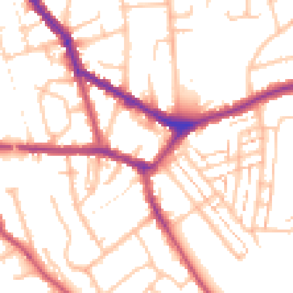
Daytime· 07:00 – 23:00
52.7dB

Night-time· 23:00 – 07:00
41.5dB