1 Barons Gate, Barnet, EN4 8SU
About 1 Barons Gate
1 Barons Gate is a three-bedroom mid-terrace house in Barnet (EN4 8SU). It has a recorded floor area of 92 m² (around 990 sq ft), construction records dating it to 1930-1949 and council tax band E. The latest certificate (November 2017) shows a D (score 58), a step below the typical UK home. The recommended improvements would lift it to B (score 88), a 2-band jump. Our model identifies extension potential, subject to local planning policy.
Today's modelled estimate of £627,000 is 18.9% above the 2018 sale price. On a £-per-square-foot basis, the last sale (£533/sq ft) was about 56.2% above the typical sold price in the postcode. Last changed hands 8 years ago, in March 2018. One historical planning record sits against the property in 2019.
What this property has
Inside
- Bedrooms3
- Bathrooms1
- Dining roomYes
Outside
- GarageDetached
Building
- Heating systemGas
- RefurbishedYes
- Extension potentialPossible
Everything you need to know about 1 Barons Gate
The true value, the hidden risks and the full sale history, in one report.
30-day money-back guarantee

The data behind every report


Energy performance
Recommended upgrades on file would lift this property by multiple EPC bands.
EPC Rating
Planning history
- Apr 2019ExtensionOutlineIn report
Extension: Single storey · Rear of property
Single storey rear extension. Roof extension involving rear dormer window with juliette balcony and 3no front facing rooflights
- Agent
- ArchiTech
- Documents
- 6 docs on file
- Reference
- 19/1692/192
We flagged 1 thing worth checking at 1 Barons Gate
Independent checks surfaced things a buyer would want to understand before offering. The report explains each one in full, with the underlying data and what to ask.
- Larger development activity nearby
30-day money-back guarantee
Sales history & valuation
1 Barons Gate valuation sits well clear of the typical sold price in this postcode.
£627,000
Modelled from EPC, postcode comparables.
£527,500
Recorded with HM Land Registry.
Sales timeline
7 March 2018Most recent
£527,500
Median price across the last 5 sales in EN4 8SU: £578,000 (2023–2015).
Versus other Barons Gate homes
Floor Area for 1 Barons Gate lags the street by a wide margin.
Price per m²
£5,734
Street avg £4,374
Floor Area
92 m²
Street avg 103 m²
Habitable Rooms
4 rooms
Street avg 5 rooms
CO₂ Emissions
4.8 t/year
Street avg 4.5 t/year
Everything you need to know about 1 Barons Gate
The true value, the hidden risks and the full sale history, in one report.
30-day money-back guarantee
The data behind every report
Similar properties nearby
1 Avondale Avenue
EN4 8LT
1 Bourn Avenue
EN4 8BU
1 Cranbrook Road
EN4 8UN
1 Derwent Avenue
EN4 8LU
1 Accommodation Road
EN4 8FT
1 Bohun Grove
EN4 8UA
1 Connaught Avenue, East Barnet
EN4 8PJ
1 Brookside, East Barnet
EN4 8TT
The neighbourhood at a glance
Rail-style transport is unusually close for this postcode.
Crime
2/mo
Steady year-on-year across the wider district.
Nearest stop
0.1 km
East Barnet War Memorial — bus stop.
Closest school
0.3 km
St Mary's CofE Primary School, East Barnet. 35 schools nearby.
Go deeper on the local area
The full report breaks down crime, transport links, schools and air quality in depth.
Road noise across the postcode
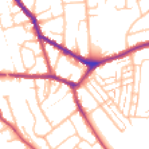
Daytime· 07:00 – 23:00
52.7dB

Night-time· 23:00 – 07:00
41.5dB