11 Barons Gate, Barnet, EN4 8SU
About 11 Barons Gate
11 Barons Gate is a semi-detached house in Barnet (EN4 8SU). It has a recorded floor area of 104 m² (around 1119 sq ft), construction records dating it to 1930-1949 and council tax band E. The latest certificate (November 2012) shows a D (score 63), on the cusp of jumping into the C band. The recommended improvements would lift it to B (score 85), a 2-band jump. The latest certificate is from November 2012, so improvements made since then won't be reflected.
Today's modelled estimate of £647,000 sits 65.9% above the 2013 sale of £390,000. On the market in March 2013 and unlisted since — roughly 13 years. One historical planning record sits against the property in 2013.
Everything you need to know about 11 Barons Gate
The true value, the hidden risks and the full sale history, in one report.
30-day money-back guarantee

The data behind every report


Energy performance
Recommended upgrades on file would lift this property by multiple EPC bands.
EPC Expired
This certificate is over 10 years old and is no longer valid.Expired 09 Nov 2022
EPC Rating
Planning history
- May 2013ExtensionOutlineIn report
Extension: Single storey · Rear of property
Single storey rear extension.
- Agent
- Mr Michael Burnand
- Documents
- 4 docs on file
- Reference
- B/01556/13
We flagged 1 thing worth checking at 11 Barons Gate
Independent checks surfaced things a buyer would want to understand before offering. The report explains each one in full, with the underlying data and what to ask.
- Larger development activity nearby
30-day money-back guarantee
Sales history & valuation
11 Barons Gate valuation sits well clear of the typical sold price in this postcode.
£647,000
Modelled from EPC, postcode comparables.
£390,000
Recorded with HM Land Registry.
Sales timeline
4 March 2013Most recent
£390,000
Median price across the last 5 sales in EN4 8SU: £578,000 (2023–2017).
Versus other Barons Gate homes
Price per m²
£3,750
Street avg £4,595
Floor Area
104 m²
Street avg 102 m²
Habitable Rooms
5 rooms
Street avg 5 rooms
CO₂ Emissions
4.3 t/year
Street avg 4.6 t/year
Everything you need to know about 11 Barons Gate
The true value, the hidden risks and the full sale history, in one report.
30-day money-back guarantee
The data behind every report
Similar properties nearby
The neighbourhood at a glance
Rail-style transport is unusually close for this postcode.
Crime
2/mo
Steady year-on-year across the wider district.
Nearest stop
0.1 km
East Barnet War Memorial — bus stop.
Closest school
0.3 km
St Mary's CofE Primary School, East Barnet. 35 schools nearby.
Go deeper on the local area
The full report breaks down crime, transport links, schools and air quality in depth.
Road noise across the postcode
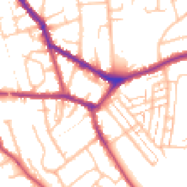
Daytime· 07:00 – 23:00
52.7dB

Night-time· 23:00 – 07:00
41.5dB