11 Carlton Road, Waltham Forest, London, E17 5RA
About 11 Carlton Road
11 Carlton Road is a three-bedroom mid-terrace house in Waltham Forest, London, London (E17 5RA). It has a recorded floor area of 88 m² (around 947 sq ft), construction records dating it to 1930-1949 and council tax band C. The latest certificate (July 2024) shows an E (score 52), well below the UK norm with real room to improve. When first surveyed in January 2014 the rating was G, the property has climbed 2 bands since. Between certificates, hot-water efficiency went from Very Poor to Good, lighting went from Good to Very Good and main heating went from Very Poor to Good. The recommended improvements would lift it to C (score 74), a 2-band jump. Period features are noted in the property record.
At 88 m² it's 18.9% larger than the typical home in the postcode (74 m² median across 50 EPCs). On energy efficiency it sits in the bottom 10% of properties in this postcode — significant headroom for improvement. Today's modelled estimate of £652,000 sits 53.4% above the 2014 sale of £425,000. On a £-per-square-foot basis, the last sale (£449/sq ft) was about 90.5% above the typical sold price in the postcode. One planning record on file: a loft conversion approved in 2014. Past consents include a loft conversion, meaningful when judging how the property has evolved. On the market in October 2014 and unlisted since — roughly 12 years.
Know exactly what you're buying at 11 Carlton Road
Before you offer, see what the listing won't tell you, the true value, the red flags and the full history.
Valuation
against the asking price
Risks
planning & flood
Sold prices
similar homes nearby
Trends
the local market
What this property has
Inside
- Bedrooms3
- Bathrooms1
Outside
- Private gardenRear
Building
- Period featuresYes
Energy performance
11 Carlton Road sits at the bottom of the postcode for energy efficiency — meaningful headroom to improve.
EPC Rating
Property Improvements
Changes detected from historical EPC data
Upgraded to gas central heating
Hot water system upgraded
More low energy lighting installed
Planning history
- Aug 2014Loft ConversionOutlineIn report
An application for a lawful development certificate for a proposed development - Loft conversion with rear dormer window and one velux window at front.
- Council
- 17
- Documents
- 3 docs on file
- Reference
- 140211
What's in 11 Carlton Road, Waltham Forest, London, E17 5RA's planning history?
Refusals, disputes and full decisions on this property and nearby, in the report.
Sales history & valuation
11 Carlton Road valuation sits well clear of the typical sold price in this postcode.
£652,000
Modelled from EPC, postcode comparables.
£425,000
Recorded with HM Land Registry.
Sales timeline
9 October 2014Most recent
£425,000
Median price across the last 5 sales in E17 5RA: £565,000 (2024–2022).
Nearby sales in E17 5RA
87 Carlton Road, Waltham Forest, London, E17 5RA
Sold Dec 2024
£565,00079 Carlton Road, Waltham Forest, London, E17 5RA
Sold Nov 2024
£575,00095 Carlton Road, Waltham Forest, London, E17 5RA
Sold Aug 2024
£504,0001 Carlton Road, Waltham Forest, London, E17 5RA
Sold Apr 2023
£600,00059 Carlton Road, Waltham Forest, London, E17 5RA
Sold Jun 2022
£365,000
Everything we know about 11 Carlton Road, in one report
What it's really worth, what could be wrong, and the planning, sales and area data in full.
- Am I paying too much?
- Is something wrong with it?
- Is the agent's story true?
- Will it hold its value?

Versus other Carlton Road homes
11 Carlton Road is notably below the street on epc rating.
Price per m²
£4,830
Street avg £4,764
Floor Area
88 m²
Street avg 83 m²
Habitable Rooms
5 rooms
Street avg 4 rooms
CO₂ Emissions
4.8 t/year
Street avg 3.7 t/year
Similar properties nearby
1 Ardleigh Road, Waltham Forest
E17 5BU
1 Cooper Avenue, Waltham Forest
E17 5PN
1 Durban Road, Waltham Forest
E17 5EA
1 Douglas Terrace, Waltham Forest
E17 5DD
1 Garnett Way, Waltham Forest
E17 5PE
1 Bemsted Road, Waltham Forest
E17 5JY
1 Carlton Road, Waltham Forest
E17 5RA
1 Brettenham Road, Waltham Forest
E17 5AZ
The neighbourhood at a glance
Reported crime in the wider district is trending notably upward year-on-year.
Crime
12/mo
Rising year-on-year across the wider district.
Nearest stop
0.2 km
Whittingham Primary Academy — bus stop.
Closest school
0.1 km
Whittingham Primary Academy. 63 schools nearby.
Go deeper on the local area
The full report breaks down crime, transport links, schools and air quality in depth.
Road noise across the postcode
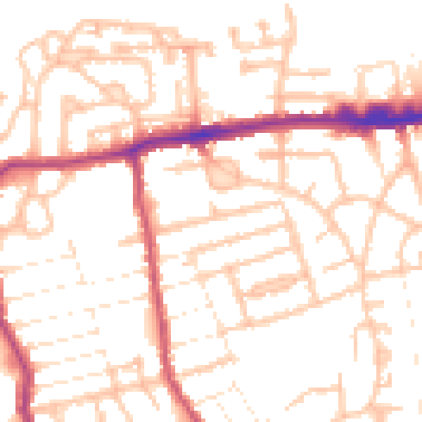
Daytime· 07:00 – 23:00
52.8dB

Night-time· 23:00 – 07:00
42.9dB