53 Kings Court, Newham, London, E13 9HZ
About 53 Kings Court
53 Kings Court is a mid-terrace house in Newham, London, London (E13 9HZ). It has a recorded floor area of 66 m² (around 710 sq ft), construction records dating it to 1930-1949 and council tax band C. The latest certificate (October 2018) shows a D (score 65), on the cusp of jumping into the C band. The rating has held steady at D across 2 certificates since July 2017. Between certificates, lighting dropped from Very Good to Very Poor. The recommended improvements would push it to C (score 72).
Last changed hands 9 years ago, in March 2017. Across the public record there are 4 sales, relatively high churn for a single property. Across 2004–2017, sale prices on this property compounded at 5.5% per year. Today's modelled estimate of £331,000 is 11.4% above the 2017 sale price. On a £-per-square-foot basis, the last sale (£418/sq ft) was about 100.6% above the typical sold price in the postcode.
Know exactly what you're buying at 53 Kings Court
Before you offer, see what the listing won't tell you, the true value, the red flags and the full history.
Already flagged here
Valuation
against the asking price
Risks
planning & flood
Sold prices
similar homes nearby
Trends
the local market
Energy performance
EPC Rating
Property Improvements
Changes detected from historical EPC data
Heating controls upgraded for better temperature management
Low energy lighting percentage decreased
Planning history
53 Kings Court has no planning applications on record.
Notable planning nearby
6applications of note in the surrounding area
We flagged 1 thing worth checking at 53 Kings Court
Independent checks surfaced things a buyer would want to understand before offering. The report explains each one in full, with the underlying data and what to ask.
- Signs of HMO activity in the area
30-day money-back guarantee
Sales history & valuation
53 Kings Court valuation sits well clear of the typical sold price in this postcode.
£331,000
Modelled from EPC, postcode comparables and a sale-price growth of 5.5% per year over 13 years.
£297,000
Growth on file: 5.5% per year over 13 years.
Sales timeline
24 March 2017Most recent
£297,000
+59.7%over 2 years19 March 2015
£186,000
+6.3%over 8 years19 December 2006
£175,000
+17.4%over 2 years9 May 2004
£149,000
Median price across the last 5 sales in E13 9HZ: £300,000 (2025–2014).
Nearby sales in E13 9HZ
1 Kings Court, Newham, London, E13 9HZ
Sold Aug 2025
£300,00039 Kings Court, Newham, London, E13 9HZ
Sold Sept 2022
£337,86015 Kings Court, Newham, London, E13 9HZ
Sold Feb 2021
£330,00022 Kings Court, Newham, London, E13 9HZ
Sold Nov 2014
£215,00049 Kings Court, Newham, London, E13 9HZ
Sold Jul 2012
£160,000
Everything we know about 53 Kings Court, in one report
What it's really worth, what could be wrong, and the planning, sales and area data in full.
What we flagged
- Signs of HMO activity in the area

Versus other Kings Court homes
On price per m², 53 Kings Court stands well clear of the street.
Price per m²
£4,500
Street avg £3,112
Floor Area
66 m²
Street avg 65 m²
Habitable Rooms
4 rooms
Street avg 3 rooms
CO₂ Emissions
2.7 t/year
Street avg 2.7 t/year
Similar properties nearby
1 Kings Court, Newham
E13 9HZ
1 Jedburgh Road, Newham
E13 9LQ
1 Crown Mews, Newham
E13 9HG
1 Augurs Lane, Newham
E13 9JX
1 Humberstone Road, Newham
E13 9NL
1 Coronation Road, Newham
E13 9QB
1 George Peabody Street, Newham
E13 9DE
1 Fawn Road, Newham
E13 9BL
The neighbourhood at a glance
Rail-style transport is unusually close for this postcode.
Crime
7/mo
Rising year-on-year across the wider district.
Nearest stop
0.4 km
Terrace Road West Ham — bus stop.
Closest school
0.1 km
Lister Community School. 92 schools nearby.
Go deeper on the local area
The full report breaks down crime, transport links, schools and air quality in depth.
Road noise across the postcode
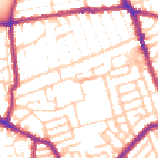
Daytime· 07:00 – 23:00
53.4dB

Night-time· 23:00 – 07:00
43.0dB