10 Cavendish Drive, Waltham Forest, London, E11 1DN
About 10 Cavendish Drive
10 Cavendish Drive is a three-bedroom property in Waltham Forest, London, London (E11 1DN). It has council tax band C. Period features are noted in the property record.
Untraded for 20 years, with the last transfer in April 2006. Across 2005–2006, sale prices on this property compounded at 24.5% per year.
Know exactly what you're buying at 10 Cavendish Drive
Before you offer, see what the listing won't tell you, the true value, the red flags and the full history.
Already flagged here
Valuation
against the asking price
Risks
planning & flood
Sold prices
similar homes nearby
Trends
the local market
What this property has
Inside
- Bedrooms3
Building
- Period featuresYes
- RefurbishedYes
Energy performance
No EPC on record
This property doesn't have an Energy Performance Certificate yet. An EPC is required to sell or let — and unlocks our automated valuation.
Planning history
10 Cavendish Drive has no planning applications on record.
Notable planning nearby
14applications of note in the surrounding area
We flagged 3 things worth checking at 10 Cavendish Drive
Independent checks surfaced things a buyer would want to understand before offering. The report explains each one in full, with the underlying data and what to ask.
- Signs of HMO activity in the area
- Larger development activity nearby
- Recent ownership pattern worth a look
30-day money-back guarantee
Sales history & valuation
10 Cavendish Drive changed hands twice within eighteen months — unusual for the area.
£249,000
Growth on file: 24.5% per year over 1 year.
Sales timeline
26 April 2006Most recent
£249,000
+24.5%11 November 2005
£200,000
Median price across the last 5 sales in E11 1DN: £451,850 (2025–2023).
Nearby sales in E11 1DN
21 Cavendish Drive, Waltham Forest, London, E11 1DN
Sold Aug 2025
£942,50042a, Cavendish Drive, Waltham Forest, London, E11 1DN
Sold May 2025
£451,850Flat 1, 13 Cavendish Drive, London, E11 1DN
Sold Sept 2024
£400,0005 Cavendish Drive, Waltham Forest, London, E11 1DN
Sold Jun 2024
£310,00019 Cavendish Drive, Waltham Forest, London, E11 1DN
Sold Aug 2023
£810,000
Everything we know about 10 Cavendish Drive, in one report
What it's really worth, what could be wrong, and the planning, sales and area data in full.
What we flagged
- Signs of HMO activity in the area
- Larger development activity nearby
- Recent ownership pattern worth a look

Similar properties nearby
1 Hawbridge Road, Waltham Forest
E11 1DH
1 Ivy Cottage, The Forest, Waltham Forest
E11 1PJ
1 Ellesmere Close, Redbridge
E11 1PT
1 Deepdene Close, Redbridge
E11 1PG
1 Integer Gardens, Forest Road, Waltham Forest
E11 1LJ
1 Hollybush Close, Redbridge
E11 1PZ
1 Falcon Way, Redbridge
E11 1SX
1 Forest Drive West, Waltham Forest
E11 1JZ
The neighbourhood at a glance
Rail-style transport is unusually close for this postcode.
Crime
5/mo
Rising year-on-year across the wider district.
Nearest stop
0.2 km
Hampton Road (E11) — bus stop.
Closest school
0.2 km
Norlington School and 6th Form. 58 schools nearby.
Go deeper on the local area
The full report breaks down crime, transport links, schools and air quality in depth.
Road noise across the postcode
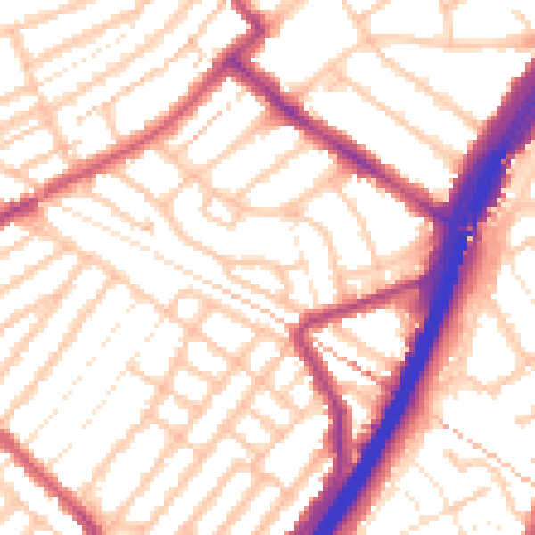
Daytime· 07:00 – 23:00
54.8dB

Night-time· 23:00 – 07:00
44.7dB