5 Danson Mead, Welling, DA16 1RU
About 5 Danson Mead
5 Danson Mead is a five-bedroom semi-detached house in Welling (DA16 1RU). It has a recorded floor area of 185 m² (around 1991 sq ft), construction records dating it to 1930-1949 and council tax band F. The latest certificate (July 2019) shows a C (score 70). When first surveyed in March 2010 the rating was E, the property has climbed 2 bands since. Between certificates, roof efficiency dropped from Good to Average and lighting dropped from Good to Average. The recommended improvements would push it to B (score 81). Our model identifies extension potential, subject to local planning policy.
At 185 m² the property is well over the postcode median (137 m² across 12 EPCs), placing it in the larger end of the local stock. On energy efficiency it sits in the top 10% of properties in this postcode. 5 bedrooms is on the larger side for this postcode, where 3 is the typical count. 2 planning records sit against the property, 1 approved, 1 refused. Past consents include an extension, meaningful when judging how the property has evolved. Across 2011–2020, sale prices on this property compounded at 8.1% per year. On a £-per-square-foot basis, the last sale (£427/sq ft) was about 30.3% above the typical sold price in the postcode. Sold August 2020 for £850,000.
Know exactly what you're buying at 5 Danson Mead
Before you offer, see what the listing won't tell you, the true value, the red flags and the full history.
Already flagged here
Valuation
against the asking price
Risks
planning & flood
Sold prices
similar homes nearby
Trends
the local market
What this property has
Inside
- Bedrooms5
- Bathrooms3
- Open-plan layoutYes
- EnsuiteYes
Outside
- Private gardenYes
- DrivewayYes
Building
- Extension potentialPossible
Energy performance
5 Danson Mead ranks among the most efficient homes in the postcode for energy use.
EPC Rating
Property Improvements
Changes detected from historical EPC data
Low energy lighting percentage decreased
Planning history
Council records include a part-single-part-two-storey side and rear extension at 5 Danson Mead.
- Jun 2011ExtensionFullIn report
Extension: Part single, part two storey · Side and rear of property
Part one/part two storey side and rear extension.
- Documents
- 8 docs on file
- Reference
- 11/00593/FUL
- Jul 2010Garage ConversionFullIn report
Extension: Single storey · Side of property
First floor side extension, single storey rear extension and conversion of part of garage to habitable room.
Extension- Documents
- 10 docs on file
- Reference
- 10/00926/FUL
We flagged 1 thing worth checking at 5 Danson Mead
Independent checks surfaced things a buyer would want to understand before offering. The report explains each one in full, with the underlying data and what to ask.
- Larger development activity nearby
30-day money-back guarantee
Sales history & valuation
5 Danson Mead has more than doubled in price since the earliest registered sale in 2011.
£872,000
Modelled from EPC, postcode comparables and a sale-price growth of 8.1% per year over 10 years.
£850,000
Growth on file: 8.1% per year over 10 years.
Sales timeline
27 August 2020Most recent
£850,000
+372.2%over 6 years29 June 2014
£180,000
-55.6%over 3 years17 February 2011
£405,000
Median price across the last 5 sales in DA16 1RU: £767,000 (2022–2018).
Everything we know about 5 Danson Mead, in one report
What it's really worth, what could be wrong, and the planning, sales and area data in full.
What we flagged
- Larger development activity nearby

Versus other Danson Mead homes
5 Danson Mead outperforms the street on epc rating by a wide margin.
Price per m²
£4,595
Street avg £4,612
Floor Area
185 m²
Street avg 137 m²
Habitable Rooms
7 rooms
Street avg 6 rooms
CO₂ Emissions
5.6 t/year
Street avg 6.5 t/year
Similar properties nearby
1 Axminster Crescent
DA16 1HQ
1 Balliol Road
DA16 1PQ
1 Ivedon Road
DA16 1NN
1 Hillsgrove Close
DA16 1AR
1 Downe Close
DA16 1BG
1 Colyton Close
DA16 1EW
1 Hadlow Road
DA16 1AX
1 Clifton Road
DA16 1QB
The neighbourhood at a glance
Rail-style transport is unusually close for this postcode.
Crime
6/mo
Steady year-on-year across the wider district.
Nearest stop
0.1 km
Bethel Road — bus stop.
Closest school
0.4 km
Foster's Primary School. 46 schools nearby.
Go deeper on the local area
The full report breaks down crime, transport links, schools and air quality in depth.
Road noise across the postcode
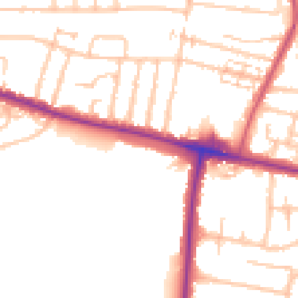
Daytime· 07:00 – 23:00
51.4dB

Night-time· 23:00 – 07:00
42.8dB