16 Amersham Road, Croydon, CR0 2QJ
About 16 Amersham Road
16 Amersham Road is a three-bedroom mid-terrace house in Croydon (CR0 2QJ). It has a recorded floor area of 75 m² (around 803 sq ft), construction records dating it to 1930-1949 and council tax band C. The latest certificate (November 2011) shows an E (score 54), well below the UK norm with real room to improve. The recommended improvements would push it to D (score 63). The latest certificate is from November 2011, so improvements made since then won't be reflected.
Untraded for 22 years, with the last transfer in January 2004. Today's modelled estimate of £318,000 sits 102.5% above the 2004 sale of £157,000. On a £-per-square-foot basis, the last sale (£196/sq ft) was about 24.3% below the postcode norm. It lags the bulk of the postcode on energy efficiency (less efficient than 81% of similar EPCs).
What this property has
Inside
- Bedrooms3
- Bathrooms1
- Dining roomYes
Outside
- Private gardenYes
Building
- Heating systemGas
Everything you need to know about 16 Amersham Road
The true value, the hidden risks and the full sale history, in one report.
30-day money-back guarantee

The data behind every report


Energy performance
16 Amersham Road's EPC is over a decade old — improvements since won't be reflected.
EPC Expired
This certificate is over 10 years old and is no longer valid.Expired 01 Nov 2021
EPC Rating
Planning history
16 Amersham Road has no planning applications on record.
Notable planning nearby
64applications of note in the surrounding area
We flagged 2 things worth checking at 16 Amersham Road
Independent checks surfaced things a buyer would want to understand before offering. The report explains each one in full, with the underlying data and what to ask.
- Signs of HMO activity in the area
- Larger development activity nearby
30-day money-back guarantee
Sales history & valuation
16 Amersham Road valuation sits well clear of the typical sold price in this postcode.
£318,000
Modelled from EPC, postcode comparables.
£157,000
Recorded with HM Land Registry.
Sales timeline
29 January 2004Most recent
£157,000
Median price across the last 5 sales in CR0 2QJ: £300,000 (2025–2025).
Versus other Amersham Road homes
16 Amersham Road is notably below the street on co₂ emissions.
Price per m²
£2,105
Street avg £3,632
Floor Area
75 m²
Street avg 76 m²
Habitable Rooms
4 rooms
Street avg 4 rooms
CO₂ Emissions
4.5 t/year
Street avg 3.3 t/year
Everything you need to know about 16 Amersham Road
The true value, the hidden risks and the full sale history, in one report.
30-day money-back guarantee
The data behind every report
Similar properties nearby
1 Broadway Avenue
CR0 2LP
1 Beulah Grove
CR0 2QU
1 Greenwood Road
CR0 2PN
1 Guildford Road
CR0 2HL
1 Grenaby Road
CR0 2EJ
1 Cobblestone Place
CR0 2TX
1 Beaconsfield Road
CR0 2LN
1 Burdett Road
CR0 2HH
The neighbourhood at a glance
Rail-style transport is unusually close for this postcode.
Crime
6/mo
Steady year-on-year across the wider district.
Nearest stop
0.1 km
Beaconsfield Road / Legacy Youth Zone — bus stop.
Closest school
0.4 km
The Crescent Primary School. 59 schools nearby.
Go deeper on the local area
The full report breaks down crime, transport links, schools and air quality in depth.
Road noise across the postcode
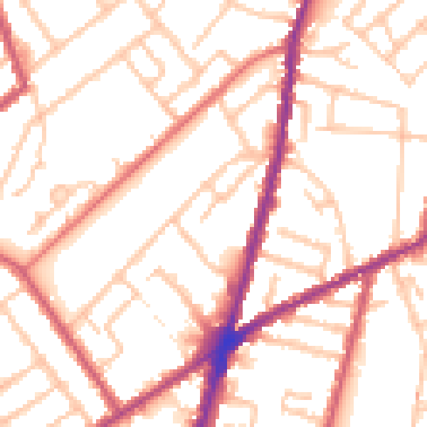
Daytime· 07:00 – 23:00
52.5dB

Night-time· 23:00 – 07:00
42.9dB