28 Downend Road, Horfield, Bristol, BS7 9PF
About 28 Downend Road
28 Downend Road is a three-bedroom end-of-terrace house in Horfield, Bristol, Bristol (BS7 9PF). It has a recorded floor area of 86 m² (around 926 sq ft), construction records dating it to 1900-1929 and council tax band B. The latest certificate (November 2014) shows an E (score 48), well below the UK norm with real room to improve. The recommended improvements would lift it to B (score 84), a 3-band jump. The latest certificate is from November 2014, so improvements made since then won't be reflected. Period features are noted in the property record.
3 planning records sit against the property, 2 approved, 0 refused. Past consents include an extension, meaningful when judging how the property has evolved. Across 2008–2015, sale prices on this property compounded at 2.4% per year. Today's modelled estimate of £470,000 is 42.4% above the 2015 sale price. On a £-per-square-foot basis, the last sale (£356/sq ft) was about 80.9% above the typical sold price in the postcode. Last sold in February 2015, so it's been off the market for around 11 years.
What this property has
Inside
- Bedrooms3
- Dining roomYes
Outside
- Private gardenRear
- GarageDouble
Building
- Period featuresYes
- RefurbishedYes
Everything you need to know about 28 Downend Road
The true value, the hidden risks and the full sale history, in one report.
Pick your report · every report is £14.99
One time fee only - money back guarantee

The data behind every report


Energy performance
Recommended upgrades on file would lift this property by multiple EPC bands.
EPC Expired
This certificate is over 10 years old and is no longer valid.Expired 03 Nov 2024
EPC Rating
Get a survey for this property
Level 3 Building Survey
Because the property was built before 1919 and has solid (non-cavity) walls, we believe a Level 3 building survey should be considered.
From £1,020 · Includes VAT
Planning history
Planning history includes both a loft conversion and an extension — the classic family-home expansion.
3 applications on record at 28 Downend Road, Horfield, Bristol, BS7 9PF
- Sept 2017ExtensionFullOutcome in report
Extension: Rear of property
Single storey rear extension, raised decking and conversion of existing outbuilding to home office, laundry room and store.
- Council
- Bishopston, Cotham And Redland
- Documents
- 15 docs on file
- Reference
- 17/03628/H
- More recent applications — locked
- Loft ConversionJan 2024Decision
- ExtensionMar 2018Decision
Unlock 28 Downend Road, Horfield, Bristol, BS7 9PF's full planning history
You're seeing the shape of it. The report has the substance.
- Every decision — granted, refused or withdrawn (3 on record)
- All 3 applications on this property in full, plus 66 notable nearby
- The 37 documents, officer reports & conditions
- What the pattern means for extending or converting here
One time fee only - money back guarantee
Sales history & valuation
28 Downend Road valuation sits well clear of the typical sold price in this postcode.
£470,000
Modelled from EPC, postcode comparables and a sale-price growth of 2.4% per year over 7 years.
£330,000
Growth on file: 2.4% per year over 7 years.
Sales timeline
2 February 2015Most recent
£330,000
+17.9%over 6 years20 February 2008
£280,000
Median price across the last 5 sales in BS7 9PF: £450,000 (2024–2022).
Nearby sales in BS7 9PF
12 Downend Road, Horfield, Bristol, BS7 9PF
Sold Nov 2024
£454,0004 Downend Road, Horfield, Bristol, BS7 9PF
Sold Sept 2024
£435,00044 Downend Road, Horfield, Bristol, BS7 9PF
Sold Jul 2023
£435,00038 Downend Road, Horfield, Bristol, BS7 9PF
Sold Oct 2022
£450,00048 Downend Road, Horfield, Bristol, BS7 9PF
Sold Jan 2022
£457,000
Versus other Downend Road homes
Price per m²
£3,837
Street avg £3,692
Floor Area
86 m²
Street avg 83 m²
Habitable Rooms
5 rooms
Street avg 4 rooms
CO₂ Emissions
5.4 t/year
Street avg 4.7 t/year
Everything you need to know about 28 Downend Road
The true value, the hidden risks and the full sale history, in one report.
Pick your report · every report is £14.99
One time fee only - money back guarantee
The data behind every report
Similar properties nearby
The neighbourhood at a glance
Rail-style transport is unusually close for this postcode.
Crime
6/mo
Rising year-on-year across the wider district.
Nearest stop
0.3 km
Churchways Avenue — bus stop.
Closest school
0.0 km
Ashley Down Primary School. 45 schools nearby.
Go deeper on the local area
A Local Area report breaks down crime, transport links, schools and air quality in depth.
Road noise across the postcode
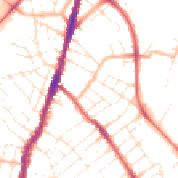
Daytime· 07:00 – 23:00
50.7dB

Night-time· 23:00 – 07:00
40.6dB