13 Downend Road, Horfield, Bristol, BS7 9PD
About 13 Downend Road
13 Downend Road is a four-bedroom mid-terrace house in Horfield, Bristol, Bristol (BS7 9PD). It has a recorded floor area of 119 m² (around 1281 sq ft), construction records dating it to 1900-1929 and council tax band C. The latest certificate (June 2021) shows an E (score 53), well below the UK norm with real room to improve. The recommended improvements would lift it to C (score 76), a 2-band jump.
At 119 m² the property is well over the postcode median (91 m² across 8 EPCs), placing it in the larger end of the local stock. It lags the bulk of the postcode on energy efficiency (less efficient than 75% of similar EPCs). 4 bedrooms is on the larger side for this postcode, where 2 is the typical count. Across 1995–2022, sale prices on this property compounded at 7.5% per year. Today's modelled estimate of £620,000 is 15.9% above the 2022 sale price. On a £-per-square-foot basis, the last sale (£418/sq ft) was about 115.8% above the typical sold price in the postcode. One planning record on file: HMO conversion refused in 2024. Most recent transfer: January 2022 at £535,000. That sale was during the post-pandemic price surge, when transactions cleared materially above pre-2020 trend.
What this property has
Inside
- Bedrooms4
- Bathrooms2
- Dining roomYes
- EnsuiteYes
Outside
- Private gardenRear
- GarageYes
Everything you need to know about 13 Downend Road
The true value, the hidden risks and the full sale history, in one report.
Pick your report · every report is £14.99
One time fee only - money back guarantee

The data behind every report


Energy performance
13 Downend Road's carbon output runs well above what efficient homes in the postcode produce.
EPC Rating
Get a survey for this property
Level 3 Building Survey
Because the property was built before 1919 and has solid (non-cavity) walls, we believe a Level 3 building survey should be considered.
From £1,155 · Includes VAT
Planning history
A HMO conversion application was refused at 13 Downend Road in 2024.
1 application on record at 13 Downend Road, Horfield, Bristol, BS7 9PD
- Apr 2024HMOFullOutcome in report
Internal alterations to change use from 3no. bedroom dwelling house (C3) to a 6no. bedroom house of multiple occupation (C4).
- Documents
- 11 docs on file
- Reference
- 23/02134/F
Unlock 13 Downend Road, Horfield, Bristol, BS7 9PD's full planning history
You're seeing the shape of it. The report has the substance.
- Every decision — granted, refused or withdrawn (1 on record)
- All 1 application on this property in full, plus 66 notable nearby
- The 11 documents, officer reports & conditions
- What the pattern means for extending or converting here
One time fee only - money back guarantee
Sales history & valuation
Latest sale on 13 Downend Road was the highest on Land Registry record across the postcode.
£620,000
Modelled from EPC, postcode comparables and a sale-price growth of 7.5% per year over 27 years.
£535,000
Growth on file: 7.5% per year over 27 years.
Sales timeline
13 January 2022Most recent
£535,000
+585.9%over 26 years17 April 1995
£78,000
Median price across the last 5 sales in BS7 9PD: £445,000 (2024–2015).
Nearby sales in BS7 9PD
Flat 2, 23 Downend Road, Horfield, Bristol, BS7 9PD
Sold Apr 2024
£96,7525 Downend Road, Horfield, Bristol, BS7 9PD
Sold Apr 2021
£445,00015 Downend Road, Horfield, Bristol, BS7 9PD
Sold Jul 2018
£465,00011 Downend Road, Horfield, Bristol, BS7 9PD
Sold May 2017
£460,00019 Downend Road, Horfield, Bristol, BS7 9PD
Sold Aug 2013
£150,000
Versus other Downend Road homes
Price per m² for 13 Downend Road runs comfortably ahead of the street norm.
Price per m²
£4,496
Street avg £3,084
Floor Area
119 m²
Street avg 113 m²
Habitable Rooms
6 rooms
Street avg 6 rooms
CO₂ Emissions
6.3 t/year
Street avg 5.5 t/year
Everything you need to know about 13 Downend Road
The true value, the hidden risks and the full sale history, in one report.
Pick your report · every report is £14.99
One time fee only - money back guarantee
The data behind every report
Similar properties nearby
The neighbourhood at a glance
Rail-style transport is unusually close for this postcode.
Crime
6/mo
Rising year-on-year across the wider district.
Nearest stop
0.2 km
Churchways Avenue — bus stop.
Closest school
0.0 km
Ashley Down Primary School. 44 schools nearby.
Go deeper on the local area
A Local Area report breaks down crime, transport links, schools and air quality in depth.
Road noise across the postcode
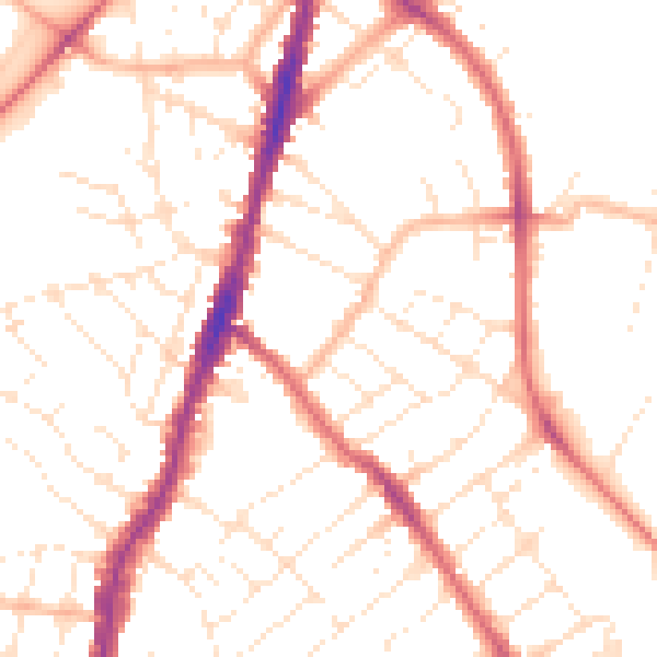
Daytime· 07:00 – 23:00
50.8dB

Night-time· 23:00 – 07:00
40.7dB