13 Brynland Avenue, Bristol, BS7 9DR
About 13 Brynland Avenue
13 Brynland Avenue is a five-bedroom property in Bristol (BS7 9DR). It has council tax band E. Period features are noted in the property record.
Untraded for 19 years, with the last transfer in June 2007. That sale landed at the peak of the pre-credit-crunch market, which is a useful reference point when interpreting the price. 5 bedrooms is on the larger side for this postcode, where 2 is the typical count.
What this property has
Inside
- Bedrooms5
- Dining roomYes
- CloakroomYes
- EnsuiteYes
Outside
- DrivewayYes
Building
- Period featuresYes
- RefurbishedYes
Everything you need to know about 13 Brynland Avenue
The true value, the hidden risks and the full sale history, in one report.
Pick your report · every report is £14.99
One time fee only - money back guarantee

The data behind every report


Energy performance
No EPC on record
This property doesn't have an Energy Performance Certificate yet. An EPC is required to sell or let — and unlocks our automated valuation.
Get a survey for this property
Level 2 HomeBuyer Report
We've checked 10 risk factors against the available data for this property and believe a Level 2 HomeBuyer Report could be a suitable option for you.
Planning history
13 Brynland Avenue has no planning applications on record.
But the area is active
66 notable applications nearby — larger schemes and conversions that could reshape the street. The report maps them all.
Sales history & valuation
The latest sale landed at the peak of the pre-credit-crunch market — a high-water reference point.
£540,000
Recorded with HM Land Registry.
Sales timeline
24 June 2007Most recent
£540,000
Median price across the last 5 sales in BS7 9DR: £605,000 (2023–2020).
Nearby sales in BS7 9DR
Everything you need to know about 13 Brynland Avenue
The true value, the hidden risks and the full sale history, in one report.
Pick your report · every report is £14.99
One time fee only - money back guarantee
The data behind every report
Similar properties nearby
The neighbourhood at a glance
Rail-style transport is unusually close for this postcode.
Crime
6/mo
Rising year-on-year across the wider district.
Nearest stop
0.1 km
Hatherley Road — bus stop.
Closest school
0.4 km
Brunel Field Primary School. 43 schools nearby.
Go deeper on the local area
A Local Area report breaks down crime, transport links, schools and air quality in depth.
Road noise across the postcode
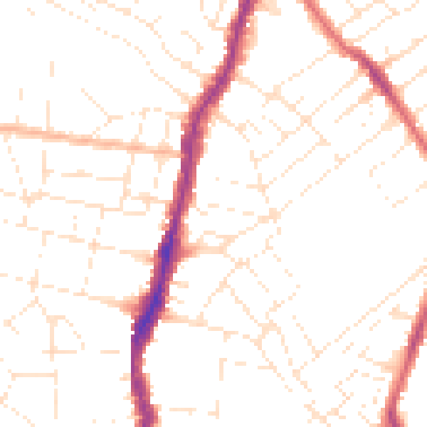
Daytime· 07:00 – 23:00
49.6dB

Night-time· 23:00 – 07:00
39.2dB