33 Gerrish Avenue, Whitehall, Bristol, BS5 9DG
About 33 Gerrish Avenue
33 Gerrish Avenue is an end-of-terrace house in Whitehall, Bristol, Bristol (BS5 9DG). It has a recorded floor area of 89 m² (around 958 sq ft), construction records dating it to 1900-1929 and council tax band B. The latest certificate (September 2024) shows a D (score 58), a step below the typical UK home. The recommended improvements would lift it to B (score 85), a 2-band jump.
A recent sale: £275,000 in August 2025. Today's modelled estimate of £322,000 is 17.1% above the 2025 sale price. On a £-per-square-foot basis, the last sale (£287/sq ft) was about 105.6% above the typical sold price in the postcode.
Everything you need to know about 33 Gerrish Avenue
The true value, the hidden risks and the full sale history, in one report.
30-day money-back guarantee

The data behind every report


Energy performance
Recommended upgrades on file would lift this property by multiple EPC bands.
EPC Rating
Planning history
33 Gerrish Avenue has no planning applications on record.
Notable planning nearby
23applications of note in the surrounding area
We flagged 1 thing worth checking at 33 Gerrish Avenue
Independent checks surfaced things a buyer would want to understand before offering. The report explains each one in full, with the underlying data and what to ask.
- Signs of HMO activity in the area
30-day money-back guarantee
Sales history & valuation
33 Gerrish Avenue valuation sits well clear of the typical sold price in this postcode.
£322,000
Modelled from EPC, postcode comparables.
£275,000
Recorded with HM Land Registry.
Sales timeline
12 August 2025Most recent
£275,000
Median price across the last 5 sales in BS5 9DG: £340,000 (2024–2023).
Nearby sales in BS5 9DG
37 Gerrish Avenue, Whitehall, Bristol, BS5 9DG
Sold Mar 2024
£289,00039 Gerrish Avenue, Whitehall, Bristol, BS5 9DG
Sold Oct 2023
£421,30041 Gerrish Avenue, Whitehall, Bristol, BS5 9DG
Sold Jul 2023
£412,00021 Gerrish Avenue, Whitehall, Bristol, BS5 9DG
Sold Jul 2023
£340,00013 Gerrish Avenue, Whitehall, Bristol, BS5 9DG
Sold Jun 2023
£325,000
Versus other Gerrish Avenue homes
Years Held for 33 Gerrish Avenue lags the street by a wide margin.
Price per m²
£3,090
Street avg £2,670
Floor Area
89 m²
Street avg 95 m²
Habitable Rooms
5 rooms
Street avg 5 rooms
CO₂ Emissions
4.4 t/year
Street avg 4.4 t/year
Everything you need to know about 33 Gerrish Avenue
The true value, the hidden risks and the full sale history, in one report.
30-day money-back guarantee
The data behind every report
Similar properties nearby
The neighbourhood at a glance
Rail-style transport is unusually close for this postcode.
Crime
11/mo
Steady year-on-year across the wider district.
Nearest stop
0.1 km
Devon Road — bus stop.
Closest school
0.2 km
The City Academy Bristol. 43 schools nearby.
Go deeper on the local area
The full report breaks down crime, transport links, schools and air quality in depth.
Road noise across the postcode
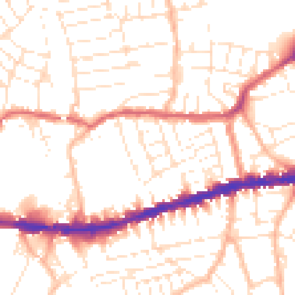
Daytime· 07:00 – 23:00
52.5dB

Night-time· 23:00 – 07:00
42.1dB