35 Bourneville Road, Bristol, BS5 9AL
About 35 Bourneville Road
35 Bourneville Road is a two-bedroom mid-terrace house in Bristol (BS5 9AL). It has a recorded floor area of 118 m² (around 1270 sq ft), construction records dating it to before 1900 and council tax band B. Other recorded features include a loft. Period features are noted in the property record. The latest certificate (September 2022) shows a C (score 71). The recommended improvements would push it to B (score 85).
At 118 m² the property is well over the postcode median (79 m² across 21 EPCs), placing it in the larger end of the local stock. Across 2003–2023, sale prices on this property compounded at 8% per year. On a £-per-square-foot basis, the last sale (£354/sq ft) was about 123.4% above the typical sold price in the postcode. Most recent transfer: March 2023 at £450,000.
What this property has
Inside
- Bedrooms2
- Bathrooms3
- Open-plan layoutYes
- EnsuiteYes
- LoftYes
- FireplaceYes
Outside
- Private gardenYes
Building
- Period featuresYes
Everything you need to know about 35 Bourneville Road
The true value, the hidden risks and the full sale history, in one report.
30-day money-back guarantee

The data behind every report


Energy performance
EPC Rating
Planning history
35 Bourneville Road has no planning applications on record.
Notable planning nearby
23applications of note in the surrounding area
We flagged 1 thing worth checking at 35 Bourneville Road
Independent checks surfaced things a buyer would want to understand before offering. The report explains each one in full, with the underlying data and what to ask.
- Signs of HMO activity in the area
30-day money-back guarantee
Sales history & valuation
Latest sale on 35 Bourneville Road was the highest on Land Registry record across the postcode.
£483,000
Modelled from EPC, postcode comparables and a sale-price growth of 8.0% per year over 19 years.
£450,000
Growth on file: 8.0% per year over 19 years.
Sales timeline
22 March 2023Most recent
£450,000
+345.5%over 19 years31 October 2003
£101,000
Median price across the last 5 sales in BS5 9AL: £320,000 (2023–2018).
Nearby sales in BS5 9AL
Versus other Bourneville Road homes
35 Bourneville Road outperforms the street on floor area by a wide margin.
Price per m²
£3,814
Street avg £2,475
Floor Area
118 m²
Street avg 89 m²
Habitable Rooms
5 rooms
Street avg 5 rooms
CO₂ Emissions
3.6 t/year
Street avg 3.4 t/year
Everything you need to know about 35 Bourneville Road
The true value, the hidden risks and the full sale history, in one report.
30-day money-back guarantee
The data behind every report
Similar properties nearby
1 Cambridge Street, Redfield
BS5 9QH
1 Claremont Terrace
BS5 9NX
1 Bradhurst Street
BS5 9UB
1 Cooksley Road
BS5 9DW
1 Bourneville Road
BS5 9AL
1 Baden Road, St George
BS5 9QE
1 Barnes Street
BS5 9HB
1 Carlton Park
BS5 9DA
The neighbourhood at a glance
Rail-style transport is unusually close for this postcode.
Crime
11/mo
Steady year-on-year across the wider district.
Nearest stop
0.1 km
Lyppiat Road — bus stop.
Closest school
0.2 km
Whitehall Primary School. 45 schools nearby.
Go deeper on the local area
The full report breaks down crime, transport links, schools and air quality in depth.
Road noise across the postcode
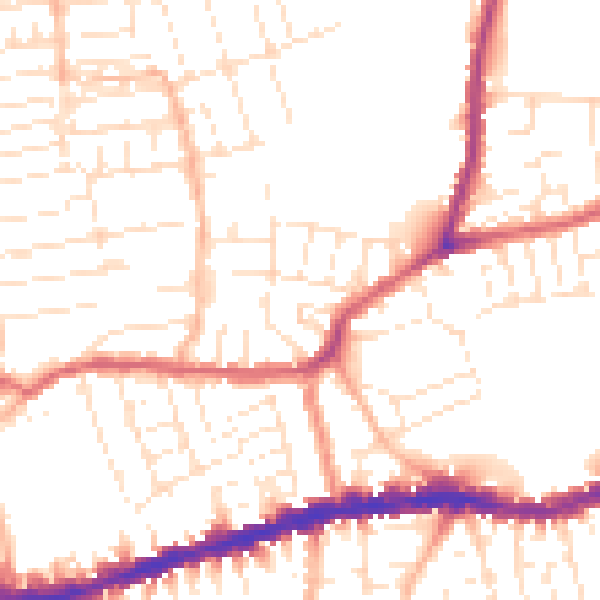
Daytime· 07:00 – 23:00
52.0dB
Night-time· 23:00 – 07:00
42.3dB