3 Bourneville Road, Bristol, BS5 9AL
About 3 Bourneville Road
3 Bourneville Road is a three-bedroom mid-terrace house in Bristol (BS5 9AL). It has a recorded floor area of 66 m² (around 708 sq ft), construction records dating it to 1900-1929 and council tax band B. The latest certificate (January 2010) shows a D (score 62), on the cusp of jumping into the C band. The latest certificate is from January 2010, so improvements made since then won't be reflected. Period features are noted in the property record.
Across 1999–2012, sale prices on this property compounded at 8.7% per year. Today's modelled estimate of £313,000 sits 130.1% above the 2012 sale of £136,000. On a £-per-square-foot basis, the last sale (£192/sq ft) was about 21.9% above the typical sold price in the postcode. Last sold in November 2012, so it's been off the market for around 14 years. At 66 m² it's 18.8% smaller than the typical home in the postcode (81 m² median across 21 EPCs).
What this property has
Inside
- Bedrooms3
- Dining roomYes
- StudyYes
Outside
- Private gardenRear
- ParkingOff road
Building
- Heating systemGas
- Period featuresYes
Everything you need to know about 3 Bourneville Road
The true value, the hidden risks and the full sale history, in one report.
30-day money-back guarantee

The data behind every report


Energy performance
3 Bourneville Road's EPC is over a decade old — improvements since won't be reflected.
EPC Expired
This certificate is over 10 years old and is no longer valid.Expired 19 Jan 2020
EPC Rating
Planning history
3 Bourneville Road has no planning applications on record.
Notable planning nearby
23applications of note in the surrounding area
We flagged 1 thing worth checking at 3 Bourneville Road
Independent checks surfaced things a buyer would want to understand before offering. The report explains each one in full, with the underlying data and what to ask.
- Signs of HMO activity in the area
30-day money-back guarantee
Sales history & valuation
3 Bourneville Road has more than tripled in price since its earliest registered sale in 1999.
£313,000
Modelled from EPC, postcode comparables and a sale-price growth of 8.7% per year over 14 years.
£136,000
Growth on file: 8.7% per year over 14 years.
Sales timeline
9 November 2012Most recent
£136,000
+8.8%over 7 years20 October 2005
£125,000
+184.1%over 6 years8 April 1999
£44,000
Median price across the last 5 sales in BS5 9AL: £370,000 (2023–2018).
Nearby sales in BS5 9AL
Versus other Bourneville Road homes
On floor area, 3 Bourneville Road runs well behind the street norm.
Price per m²
£2,069
Street avg £2,572
Floor Area
66 m²
Street avg 91 m²
Habitable Rooms
5 rooms
Street avg 5 rooms
CO₂ Emissions
3.4 t/year
Street avg 3.4 t/year
Everything you need to know about 3 Bourneville Road
The true value, the hidden risks and the full sale history, in one report.
30-day money-back guarantee
The data behind every report
Similar properties nearby
1 Carlton Park
BS5 9DA
1 Baden Road, St George
BS5 9QE
1 Bourneville Road
BS5 9AL
1 Cooksley Road
BS5 9DW
1 Bradhurst Street
BS5 9UB
1 Claremont Terrace
BS5 9NX
1 Cambridge Street, Redfield
BS5 9QH
1 Byron Street, Redfield
BS5 9NN
The neighbourhood at a glance
Rail-style transport is unusually close for this postcode.
Crime
11/mo
Steady year-on-year across the wider district.
Nearest stop
0.1 km
Lyppiat Road — bus stop.
Closest school
0.2 km
Whitehall Primary School. 45 schools nearby.
Go deeper on the local area
The full report breaks down crime, transport links, schools and air quality in depth.
Road noise across the postcode
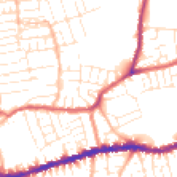
Daytime· 07:00 – 23:00
52.0dB
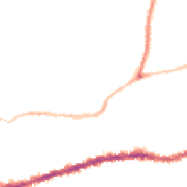
Night-time· 23:00 – 07:00
42.3dB