25 Battens Lane, Bristol, BS5 8TG
About 25 Battens Lane
25 Battens Lane is a three-bedroom mid-terrace house in Bristol (BS5 8TG). It has a recorded floor area of 94 m² (around 1012 sq ft), construction records dating it to 1967-1975 and council tax band B. The latest certificate (September 2018) shows a D (score 61), on the cusp of jumping into the C band. The recommended improvements would lift it to B (score 84), a 2-band jump. Other recorded features include a conservatory.
At 94 m² it's 27% larger than the typical home in the postcode (74 m² median across 9 EPCs). Today's modelled estimate of £305,000 is 24.5% above the 2019 sale price. On a £-per-square-foot basis, the last sale (£242/sq ft) was about 23.2% above the typical sold price in the postcode. Last sale on file: £245,000 in February 2019.
What this property has
Inside
- Bedrooms3
- Bathrooms1
- ConservatoryYes
Outside
- ParkingOff street
Building
- Heating systemGas
- RefurbishedYes
Everything you need to know about 25 Battens Lane
The true value, the hidden risks and the full sale history, in one report.
30-day money-back guarantee

The data behind every report


Energy performance
Recommended upgrades on file would lift this property by multiple EPC bands.
EPC Rating
Planning history
25 Battens Lane has no planning applications on record.
Notable planning nearby
10applications of note in the surrounding area
We flagged 2 things worth checking at 25 Battens Lane
Independent checks surfaced things a buyer would want to understand before offering. The report explains each one in full, with the underlying data and what to ask.
- Signs of HMO activity in the area
- Larger development activity nearby
30-day money-back guarantee
Sales history & valuation
25 Battens Lane valuation sits well clear of the typical sold price in this postcode.
£305,000
Modelled from EPC, postcode comparables.
£245,000
Recorded with HM Land Registry.
Sales timeline
1 February 2019Most recent
£245,000
Median price across the last 5 sales in BS5 8TG: £220,000 (2023–2012).
Versus other Battens Lane homes
On floor area, 25 Battens Lane stands well clear of the street.
Price per m²
£2,606
Street avg £2,631
Floor Area
94 m²
Street avg 76 m²
Habitable Rooms
5 rooms
Street avg 5 rooms
CO₂ Emissions
3.8 t/year
Street avg 3.8 t/year
Everything you need to know about 25 Battens Lane
The true value, the hidden risks and the full sale history, in one report.
30-day money-back guarantee
The data behind every report
Similar properties nearby
1 Air Balloon Road
BS5 8LB
1 Avon Close, St George
BS5 8DE
1 Battens Lane
BS5 8TG
1 Almeda Road
BS5 8RY
1 Diamond Road
BS5 8HS
1 Avalon Lane
BS5 8LT
1 Beaufort Close
BS5 8DJ
1 Anchor Close, St George
BS5 8DF
The neighbourhood at a glance
Daytime road noise here sits well below conversation level — a quiet pocket of the postcode.
Crime
11/mo
Steady year-on-year across the wider district.
Nearest stop
0.4 km
Harcourt Avenue — bus stop.
Closest school
0.7 km
Air Balloon Hill Primary School. 35 schools nearby.
Go deeper on the local area
The full report breaks down crime, transport links, schools and air quality in depth.
Road noise across the postcode
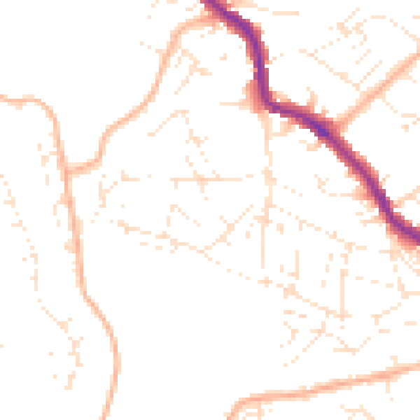
Daytime· 07:00 – 23:00
48.1dB

Night-time· 23:00 – 07:00
38.0dB