2 Chester Park, Bristol, BS5 7BE
About 2 Chester Park
2 Chester Park is a three-bedroom semi-detached house in Bristol (BS5 7BE). It has a recorded floor area of 72 m² (around 775 sq ft), construction records dating it to 1983-1990 and council tax band C. The latest certificate (January 2018) shows a D (score 64), on the cusp of jumping into the C band. The recommended improvements would lift it to B (score 85), a 2-band jump.
Across 1999–2022, sale prices on this property compounded at 6.8% per year. Today's modelled estimate of £381,000 is 12.2% above the 2022 sale price. On a £-per-square-foot basis, the last sale (£438/sq ft) was about 117.1% above the typical sold price in the postcode. Most recent transfer: June 2022 at £339,500. That sale was during the post-pandemic price surge, when transactions cleared materially above pre-2020 trend.
What this property has
Inside
- Bedrooms3
- Bathrooms1
Everything you need to know about 2 Chester Park
The true value, the hidden risks and the full sale history, in one report.
30-day money-back guarantee

The data behind every report


Energy performance
Recommended upgrades on file would lift this property by multiple EPC bands.
EPC Rating
Planning history
2 Chester Park has no planning applications on record.
Notable planning nearby
7applications of note in the surrounding area
We flagged 1 thing worth checking at 2 Chester Park
Independent checks surfaced things a buyer would want to understand before offering. The report explains each one in full, with the underlying data and what to ask.
- Signs of HMO activity in the area
30-day money-back guarantee
Sales history & valuation
2 Chester Park has more than quadrupled in price since its earliest registered sale in 1999.
£381,000
Modelled from EPC, postcode comparables and a sale-price growth of 6.8% per year over 23 years.
£339,500
Growth on file: 6.8% per year over 23 years.
Sales timeline
19 June 2022Most recent
£339,500
+361.9%over 23 years4 March 1999
£73,500
Median price across the last 5 sales in BS5 7BE: £329,000 (2024–2016).
Versus other Chester Park homes
On epc rating, 2 Chester Park runs well behind the street norm.
Price per m²
£4,715
Street avg £3,678
Floor Area
72 m²
Street avg 79 m²
Habitable Rooms
3 rooms
Street avg 4 rooms
CO₂ Emissions
3.1 t/year
Street avg 2.8 t/year
Everything you need to know about 2 Chester Park
The true value, the hidden risks and the full sale history, in one report.
30-day money-back guarantee
The data behind every report
Similar properties nearby
The neighbourhood at a glance
Crime
11/mo
Steady year-on-year across the wider district.
Nearest stop
0.1 km
Embassy Road — bus stop.
Closest school
0.4 km
Summerhill Academy. 48 schools nearby.
Go deeper on the local area
The full report breaks down crime, transport links, schools and air quality in depth.
Road noise across the postcode
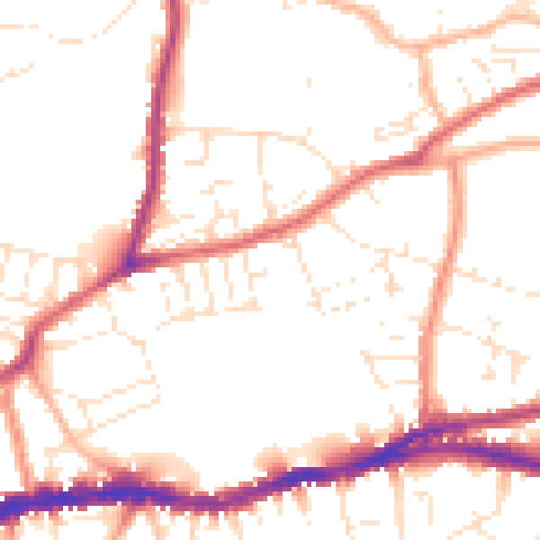
Daytime· 07:00 – 23:00
51.7dB

Night-time· 23:00 – 07:00
42.7dB