8 Argyle Street, Eastville, Bristol, BS5 6PF
About 8 Argyle Street
8 Argyle Street is a four-bedroom semi-detached house in Eastville, Bristol, Bristol (BS5 6PF). It has a recorded floor area of 82 m² (around 883 sq ft), construction records dating it to 1900-1929 and council tax band A. The latest certificate (August 2021) shows an E (score 51), well below the UK norm with real room to improve. Earlier certificates rated it D (October 2017); the latest reading is one band lower. The recommended improvements would lift it to B (score 81), a 3-band jump.
At 82 m² the property is well over the postcode median (50 m² across 18 EPCs), placing it in the larger end of the local stock. On energy efficiency it sits in the bottom 10% of properties in this postcode — significant headroom for improvement. 3 planning records sit against the property, 1 approved, 2 refused. Past consents include subdivision, meaningful when judging how the property has evolved. Across 2003–2021, sale prices on this property compounded at 7.1% per year. Today's modelled estimate of £402,000 is 41.1% above the 2021 sale price. On a £-per-square-foot basis, the last sale (£323/sq ft) was about 73.3% above the typical sold price in the postcode. Last sale on file: £285,000 in June 2021. That sale was during the post-pandemic price surge, when transactions cleared materially above pre-2020 trend.
What this property has
Inside
- Bedrooms4
- Bathrooms4
Everything you need to know about 8 Argyle Street
The true value, the hidden risks and the full sale history, in one report.
30-day money-back guarantee

The data behind every report


Energy performance
8 Argyle Street sits at the bottom of the postcode for energy efficiency — meaningful headroom to improve.
EPC Rating
Property Improvements
Changes detected from historical EPC data
Heating controls upgraded for better temperature management
Roof insulation improved
Planning history
Council records show a subdivision application — the property's legal arrangement has been altered.
- Apr 2020HMOFullIn report
Change of use from residential (4 Flats) to HMO C4
Change of Use- Reference
- 20/00390/F
- Jul 2019SubdivisionFullIn report
Conversion of building to two C3/C4 residential units; a self-contained flat at the rear at ground floor level and a self-contained flat at ground floor level to the front and across the first floor level.
Change of Use- Documents
- 12 docs on file
- Reference
- 19/01194/F
We flagged 1 thing worth checking at 8 Argyle Street
Independent checks surfaced things a buyer would want to understand before offering. The report explains each one in full, with the underlying data and what to ask.
- Signs of HMO activity in the area
30-day money-back guarantee
Sales history & valuation
Sale price has grown by over 3x since 2003.
£402,000
Modelled from EPC, postcode comparables and a sale-price growth of 7.1% per year over 18 years.
£285,000
Growth on file: 7.1% per year over 18 years.
Sales timeline
29 June 2021Most recent
£285,000
+132.7%over 15 years11 July 2005
£122,500
+45.8%over 1 year28 August 2003
£84,000
Median price across the last 5 sales in BS5 6PF: £271,800 (2024–2018).
Nearby sales in BS5 6PF
9 Argyle Street, Eastville, Bristol, BS5 6PF
Sold Apr 2024
£260,0006 Argyle Street, Eastville, Bristol, BS5 6PF
Sold Sept 2023
£380,00013 Argyle Street, Eastville, Bristol, BS5 6PF
Sold Nov 2022
£340,000Flat 2, 11 Argyle Street, Eastville, Bristol, BS5 6PF
Sold Aug 2022
£195,000Flat 1, 11 Argyle Street, Eastville, Bristol, BS5 6PF
Sold Jun 2017
£95,000
Versus other Argyle Street homes
8 Argyle Street is notably below the street on floor area.
Price per m²
£3,476
Street avg £1,726
Floor Area
82 m²
Street avg 113 m²
Habitable Rooms
5 rooms
Street avg 5 rooms
CO₂ Emissions
4.6 t/year
Street avg 5.0 t/year
Everything you need to know about 8 Argyle Street
The true value, the hidden risks and the full sale history, in one report.
30-day money-back guarantee
The data behind every report
Similar properties nearby
1 Ashdene Avenue
BS5 6QH
1 Argyle Street, Eastville
BS5 6PF
1 Bruce Road
BS5 6EE
1 Camelford Road
BS5 6HW
1 Boswell Street
BS5 6SG
1 Caraway Gardens
BS5 6YG
1 Bridge View Close
BS5 6BS
1 Chapel Road, Easton
BS5 6DX
The neighbourhood at a glance
Rail-style transport is unusually close for this postcode.
Crime
11/mo
Steady year-on-year across the wider district.
Nearest stop
0.1 km
Boswell Street — bus stop.
Closest school
0.3 km
May Park Primary School. 43 schools nearby.
Go deeper on the local area
The full report breaks down crime, transport links, schools and air quality in depth.
Road noise across the postcode
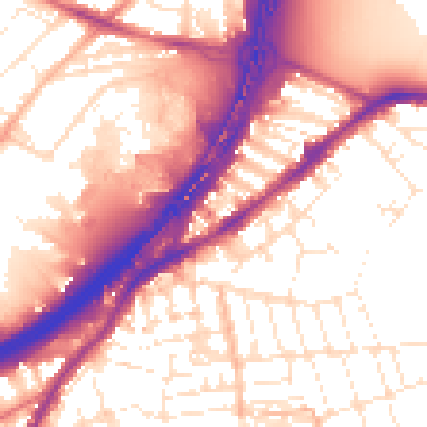
Daytime· 07:00 – 23:00
57.5dB

Night-time· 23:00 – 07:00
48.9dB