8 Camelford Road, Bristol, BS5 6HW
About 8 Camelford Road
8 Camelford Road is a mid-terrace house in Bristol (BS5 6HW). It has a recorded floor area of 70 m² (around 753 sq ft), construction records dating it to before 1900 and council tax band A. The latest certificate (June 2022) shows a D (score 58), a step below the typical UK home. When first surveyed in May 2022 the rating was E, the property has climbed 1 band since. The recommended improvements would lift it to B (score 81), a 2-band jump.
Held since December 2002 — that's 24 years off the open market, well above the local norm. Across 1999–2002, sale prices on this property compounded at 27.9% per year. Today's modelled estimate of £377,000 sits 201.6% above the 2002 sale of £125,000. At 70 m² it's 21.9% smaller than the typical home in the postcode (90 m² median across 20 EPCs).
Everything you need to know about 8 Camelford Road
The true value, the hidden risks and the full sale history, in one report.
30-day money-back guarantee

The data behind every report


Energy performance
Recommended upgrades on file would lift this property by multiple EPC bands.
EPC Rating
Property Improvements
Changes detected from historical EPC data
Solar PV panels (30 kWp) installed
Planning history
8 Camelford Road has no planning applications on record.
Notable planning nearby
30applications of note in the surrounding area
We flagged 1 thing worth checking at 8 Camelford Road
Independent checks surfaced things a buyer would want to understand before offering. The report explains each one in full, with the underlying data and what to ask.
- Signs of HMO activity in the area
30-day money-back guarantee
Sales history & valuation
8 Camelford Road has more than doubled in price since the earliest registered sale in 1999.
£377,000
Modelled from EPC, postcode comparables and a sale-price growth of 27.9% per year over 3 years.
£125,000
Growth on file: 27.9% per year over 3 years.
Sales timeline
2 December 2002Most recent
£125,000
+133.6%over 3 years22 June 1999
£53,500
Median price across the last 5 sales in BS5 6HW: £441,000 (2024–2021).
Nearby sales in BS5 6HW
Versus other Camelford Road homes
Floor Area for 8 Camelford Road lags the street by a wide margin.
Price per m²
£1,786
Street avg £3,529
Floor Area
70 m²
Street avg 92 m²
Habitable Rooms
4 rooms
Street avg 5 rooms
CO₂ Emissions
4.1 t/year
Street avg 4.6 t/year
Everything you need to know about 8 Camelford Road
The true value, the hidden risks and the full sale history, in one report.
30-day money-back guarantee
The data behind every report
Similar properties nearby
1 Bruce Road
BS5 6EE
1 Boswell Street
BS5 6SG
1 Argyle Street, Eastville
BS5 6PF
1 Bridge Road, Eastville
BS5 6XG
1 Belle Vue Road, Easton
BS5 6DR
1 Camelford Road
BS5 6HW
1 Caraway Gardens
BS5 6YG
1 Britannia Road, Easton
BS5 6BZ
The neighbourhood at a glance
Rail-style transport is unusually close for this postcode.
Crime
11/mo
Steady year-on-year across the wider district.
Nearest stop
0.4 km
Bruce Road — bus stop.
Closest school
0.3 km
Whitehall Primary School. 41 schools nearby.
Go deeper on the local area
The full report breaks down crime, transport links, schools and air quality in depth.
Road noise across the postcode
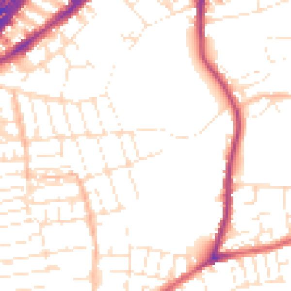
Daytime· 07:00 – 23:00
51.5dB

Night-time· 23:00 – 07:00
41.9dB