4 Oak Leaze, Patchway, Bristol, BS34 5AW
About 4 Oak Leaze
4 Oak Leaze is a two-bedroom semi-detached house in Patchway, Bristol, Bristol (BS34 5AW). It has a recorded floor area of 59 m² (around 635 sq ft) and construction records dating it to 2012 onwards. Tenure is freehold. At 59 m² this is the 16th smallest of 53 units on EPC record in the building, where floor areas span 43–169 m². The building's EPC ratings span C to A, with this unit at the bottom. The latest certificate (December 2024) shows a C (score 80), near the top of the C band. Earlier certificates rated it B (September 2013); the latest reading is one band lower. Between certificates, window efficiency dropped from Very Good to Good.
At 59 m² it's 18.1% smaller than the typical home in the postcode (72 m² median across 52 EPCs). It lags the bulk of the postcode on energy efficiency (less efficient than 75% of similar EPCs). 11 years since the last transfer (July 2015). Today's modelled estimate of £217,000 is 40.9% above the 2015 sale price.
What this property has
Inside
- Bedrooms2
- Bathrooms2
- EnsuiteYes
Outside
- ParkingAllocated
Building
- TenureFreehold
Everything you need to know about 4 Oak Leaze
The true value, the hidden risks and the full sale history, in one report.
Pick your report · every report is £14.99
One time fee only - money back guarantee

The data behind every report


Energy performance
4 Oak Leaze's carbon output is low for the local stock.
EPC Rating
Get a survey for this property
Level 2 HomeBuyer Report
We've checked 10 risk factors against the available data for this property and believe a Level 2 HomeBuyer Report could be a suitable option for you.
From £545 · Includes VAT
Planning history
4 Oak Leaze has no planning applications on record.
But the area is active
11 notable applications nearby — larger schemes and conversions that could reshape the street. The report maps them all.
Sales history & valuation
£217,000
Modelled from EPC, postcode comparables.
£154,000
Recorded with HM Land Registry.
Sales timeline
23 July 2015Most recent
£154,000
Median price across the last 5 sales in BS34 5AW: £237,500 (2025–2023).
Nearby sales in BS34 5AW
94 Oak Leaze, Patchway, Bristol, BS34 5AW
Sold Sept 2025
£560,00054 Oak Leaze, Patchway, Bristol, BS34 5AW
Sold Dec 2024
£237,50012 Oak Leaze, Patchway, Bristol, BS34 5AW
Sold Oct 2024
£222,00088 Oak Leaze, Patchway, Bristol, BS34 5AW
Sold Jul 2024
£600,00010 Oak Leaze, Patchway, Bristol, BS34 5AW
Sold Apr 2023
£221,000
Versus other Oak Leaze homes
4 Oak Leaze is notably below the street on co₂ emissions.
Price per m²
£2,610
Street avg £3,399
Floor Area
59 m²
Street avg 52 m²
Habitable Rooms
3 rooms
Street avg 3 rooms
CO₂ Emissions
1.2 t/year
Street avg 1.0 t/year
Everything you need to know about 4 Oak Leaze
The true value, the hidden risks and the full sale history, in one report.
Pick your report · every report is £14.99
One time fee only - money back guarantee
The data behind every report
Similar properties nearby
1 Arlingham Way, Patchway
BS34 5NH
1 Brick Hill Way, Patchway
BS34 5UY
1 Ashley House, Elmore Road, Patchway
BS34 5NU
1 Bay Tree Close, Patchway
BS34 5EU
1 Birch Close, Patchway
BS34 5SB
1 Donns Close, Patchway
BS34 5JW
1 Eagle Drive, Patchway
BS34 5RJ
1 Clermont Close, Patchway
BS34 5QJ
The neighbourhood at a glance
Daytime road noise here sits well below conversation level — a quiet pocket of the postcode.
Crime
6/mo
Steady year-on-year across the wider district.
Nearest stop
0.3 km
Aerospace Bristol — bus stop.
Closest school
0.6 km
Charlton Wood Primary Academy. 26 schools nearby.
Go deeper on the local area
A Local Area report breaks down crime, transport links, schools and air quality in depth.
Road noise across the postcode
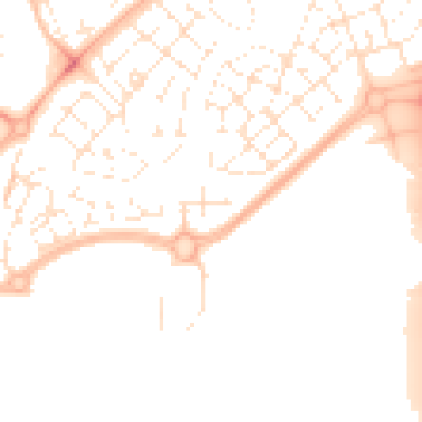
Daytime· 07:00 – 23:00
49.9dB

Night-time· 23:00 – 07:00
39.6dB