Ground Floor Flat, 245 St Johns Lane, Bristol, BS3 5AT
About Ground Floor Flat
Ground Floor Flat is a semi-detached house in Bristol (BS3 5AT). It has a recorded floor area of 41 m² (around 441 sq ft) and construction records dating it to 1930-1949. The latest certificate (May 2025) shows a C (score 72). Earlier certificates rated it B (November 2008); the latest reading is one band lower. Between certificates, lighting went from Average to Very Good; while hot-water efficiency dropped from Very Good to Good and main heating dropped from Very Good to Good.
Everything you need to know about Ground Floor Flat
The true value, the hidden risks and the full sale history, in one report.
Pick your report · every report is £14.99
One time fee only - money back guarantee

The data behind every report


Energy performance
Ground Floor Flat's carbon output is low for the local stock.
EPC Rating
Get a survey for this property
Level 2 HomeBuyer Report
We've checked 10 risk factors against the available data for this property and believe a Level 2 HomeBuyer Report could be a suitable option for you.
From £545 · Includes VAT
Planning history
Ground Floor Flat has no planning applications on record.
But the area is active
8 notable applications nearby — larger schemes and conversions that could reshape the street. The report maps them all.
Sales history & valuation
Ground Floor Flat has no Land Registry sales on file, suggesting it has stayed in the same hands since registration began.
£222,000
Modelled from EPC, postcode comparables.
No sales recorded with HM Land Registry
That can mean the property has never traded since the registry began publishing in 1995, was a new build that hasn't been registered yet, or is held in the same hands long-term.
Median price across the last 5 sales in BS3 5AT: £185,000 (2025–2018).
Nearby sales in BS3 5AT
Versus other St Johns Lane homes
Habitable Rooms for Ground Floor Flat runs comfortably ahead of the street norm.
EPC Rating
72 (C)
Street avg 69 (D)
Floor Area
41 m²
Street avg 41 m²
CO₂ Emissions
1.5 t/year
Street avg 1.8 t/year
Habitable Rooms
3 rooms
Street avg 2 rooms
Everything you need to know about Ground Floor Flat
The true value, the hidden risks and the full sale history, in one report.
Pick your report · every report is £14.99
One time fee only - money back guarantee
The data behind every report
Similar properties nearby
First Floor Flat, 245 St Johns Lane
BS3 5AT
First Floor Flat, 288 St Johns Lane
BS3 5AY
First Floor Flat, 294 St Johns Lane
BS3 5AY
First Floor Flat, 218 St Johns Lane
BS3 5AU
210c, Top Floor Flat, St Johns Lane
BS3 5AU
First Floor Flat, 290 St Johns Lane
BS3 5AY
183a, Flat 2, St Johns Lane
BS3 5AG
2a, Flat, Parson Street
BS3 5PT
The neighbourhood at a glance
Rail-style transport is unusually close for this postcode.
Crime
4/mo
Rising year-on-year across the wider district.
Nearest stop
0.0 km
Atlas Road — bus stop.
Closest school
0.2 km
Victoria Park Primary School. 41 schools nearby.
Go deeper on the local area
A Local Area report breaks down crime, transport links, schools and air quality in depth.
Road noise across the postcode
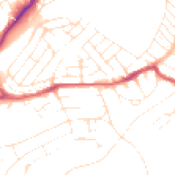
Daytime· 07:00 – 23:00
48.7dB

Night-time· 23:00 – 07:00
38.7dB