69 Broomfield Road, Beckenham, BR3 3QB
About 69 Broomfield Road
69 Broomfield Road is a four-bedroom end-of-terrace house in Beckenham (BR3 3QB). It has a recorded floor area of 105 m² (around 1130 sq ft), construction records dating it to 1900-1929 and council tax band E. The property has underfloor heating on record, all of which lower running costs and tend to lift resale appeal. The latest certificate (October 2016) shows an E (score 51), well below the UK norm with real room to improve. The rating has held steady at E across 2 certificates since December 2008. Between certificates, roof efficiency went from Poor to Average and window efficiency went from Very Poor to Poor. The recommended improvements would lift it to B (score 87), a 3-band jump.
Last sale on file: £1,150,000 in June 2023. Across the public record there are 4 sales, relatively high churn for a single property. 4 planning records sit against the property, 3 approved, 1 refused. Past consents include a loft conversion and an extension, meaningful when judging how the property has evolved. Across 2009–2023, sale prices on this property compounded at 9.7% per year. On a £-per-square-foot basis, the last sale (£1,018/sq ft) was about 276.2% above the typical sold price in the postcode.
Know exactly what you're buying at 69 Broomfield Road
Before you offer, see what the listing won't tell you, the true value, the red flags and the full history.
Already flagged here
Valuation
against the asking price
Risks
planning & flood
Sold prices
similar homes nearby
Trends
the local market
What this property has
Inside
- Bedrooms4
- Bathrooms2
- EnsuiteYes
Outside
- Private gardenYes
- ParkingOff street
Building
- Underfloor heatingYes
Energy performance
Recommended upgrades on file would lift this property by multiple EPC bands.
EPC Rating
Property Improvements
Changes detected from historical EPC data
Single glazing replaced with double or better glazing
Roof insulation improved
Planning history
69 Broomfield Road has 2 separate extension applications on the council record.
- Sept 2017Loft ConversionFullIn report
Roof alterations to incorporate rear dormer RETROSPECTIVE APPLICATION
- Agent
- Variant Office
Retrospective- Documents
- 12 docs on file
- Reference
- 17/03729/FULL6
- Aug 2017ExtensionOutlineIn report
Rear dormer extension.LAWFUL DEVELOPMENT CERTIFICATE (Proposed)
- Agent
- Variant Office
- Documents
- 4 docs on file
- Reference
- 17/02464/PLUD
We flagged 2 things worth checking at 69 Broomfield Road
Independent checks surfaced things a buyer would want to understand before offering. The report explains each one in full, with the underlying data and what to ask.
- Signs of HMO activity in the area
- Larger development activity nearby
30-day money-back guarantee
Sales history & valuation
Latest sale on 69 Broomfield Road was the highest on Land Registry record across the postcode.
£1,040,000
Modelled from EPC, postcode comparables and a sale-price growth of 9.7% per year over 14 years.
£1,150,000
Growth on file: 9.7% per year over 14 years.
Sales timeline
25 June 2023Most recent
£1,150,000
+21.1%over 2 years10 September 2020
£950,000
+66.7%over 3 years20 December 2016
£570,000
+83.9%over 7 years16 April 2009
£310,000
Median price across the last 5 sales in BR3 3QB: £685,000 (2025–2022).
Nearby sales in BR3 3QB
Everything we know about 69 Broomfield Road, in one report
What it's really worth, what could be wrong, and the planning, sales and area data in full.
What we flagged
- Signs of HMO activity in the area
- Larger development activity nearby

Versus other Broomfield Road homes
69 Broomfield Road outperforms the street on price per m² by a wide margin.
Price per m²
£10,952
Street avg £4,700
Floor Area
105 m²
Street avg 110 m²
Habitable Rooms
5 rooms
Street avg 5 rooms
CO₂ Emissions
5.8 t/year
Street avg 4.9 t/year
Similar properties nearby
1 Dairy Cottages, 16 Bucknall Way
BR3 3XP
1 Audrey Close
BR3 3BU
1 Acorn Way
BR3 3XF
1 Bramerton Road
BR3 3NZ
1 Ambleside Avenue
BR3 3RN
1 Derrick Road
BR3 3QG
1 Balmoral Avenue
BR3 3RD
1 Beck Way
BR3 3JX
The neighbourhood at a glance
Rail-style transport is unusually close for this postcode.
Crime
9/mo
Rising year-on-year across the wider district.
Nearest stop
0.2 km
Eden Park Avenue — bus stop.
Closest school
0.5 km
Balgowan Primary School. 42 schools nearby.
Go deeper on the local area
The full report breaks down crime, transport links, schools and air quality in depth.
Road noise across the postcode
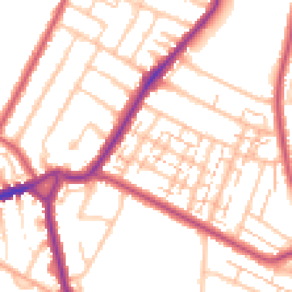
Daytime· 07:00 – 23:00
52.6dB

Night-time· 23:00 – 07:00
43.3dB